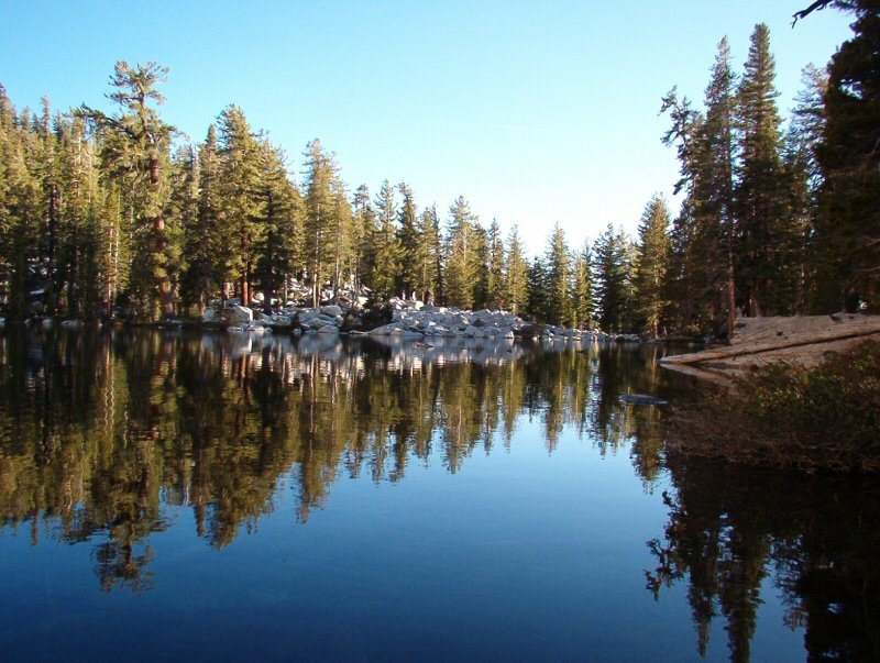
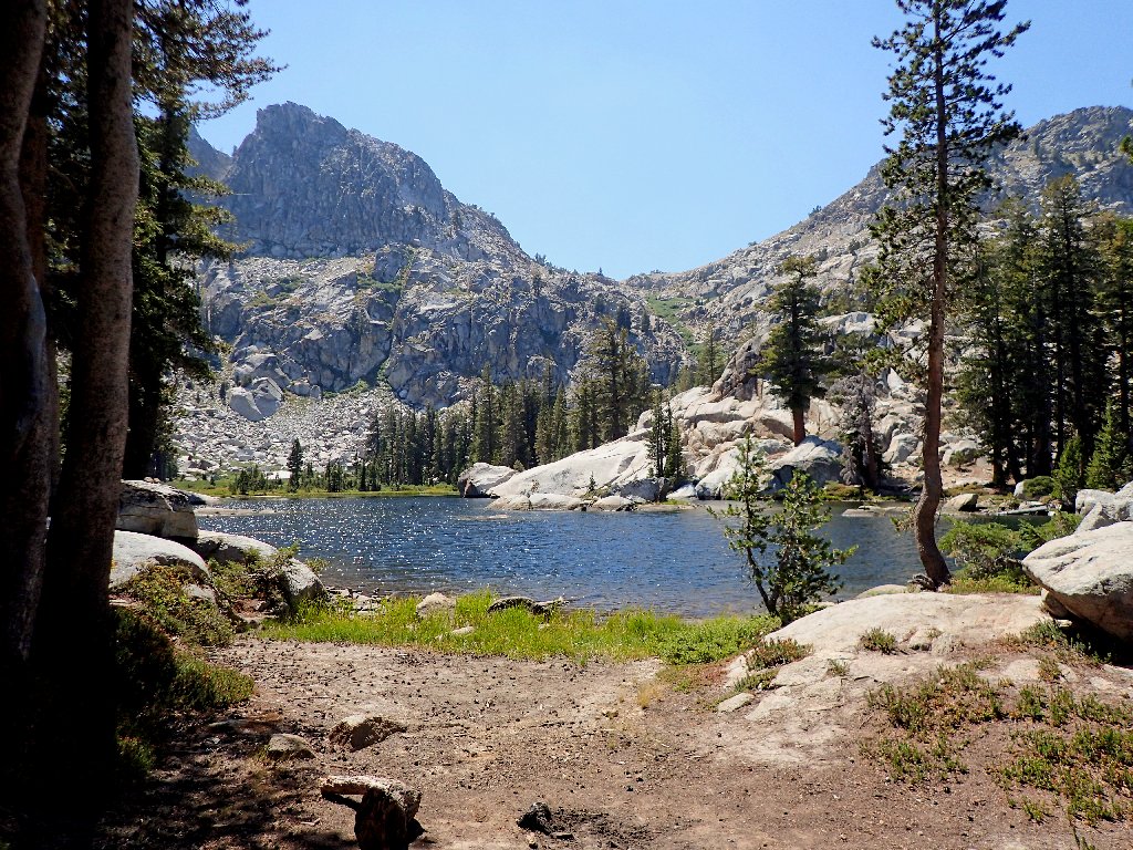
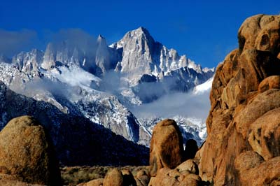
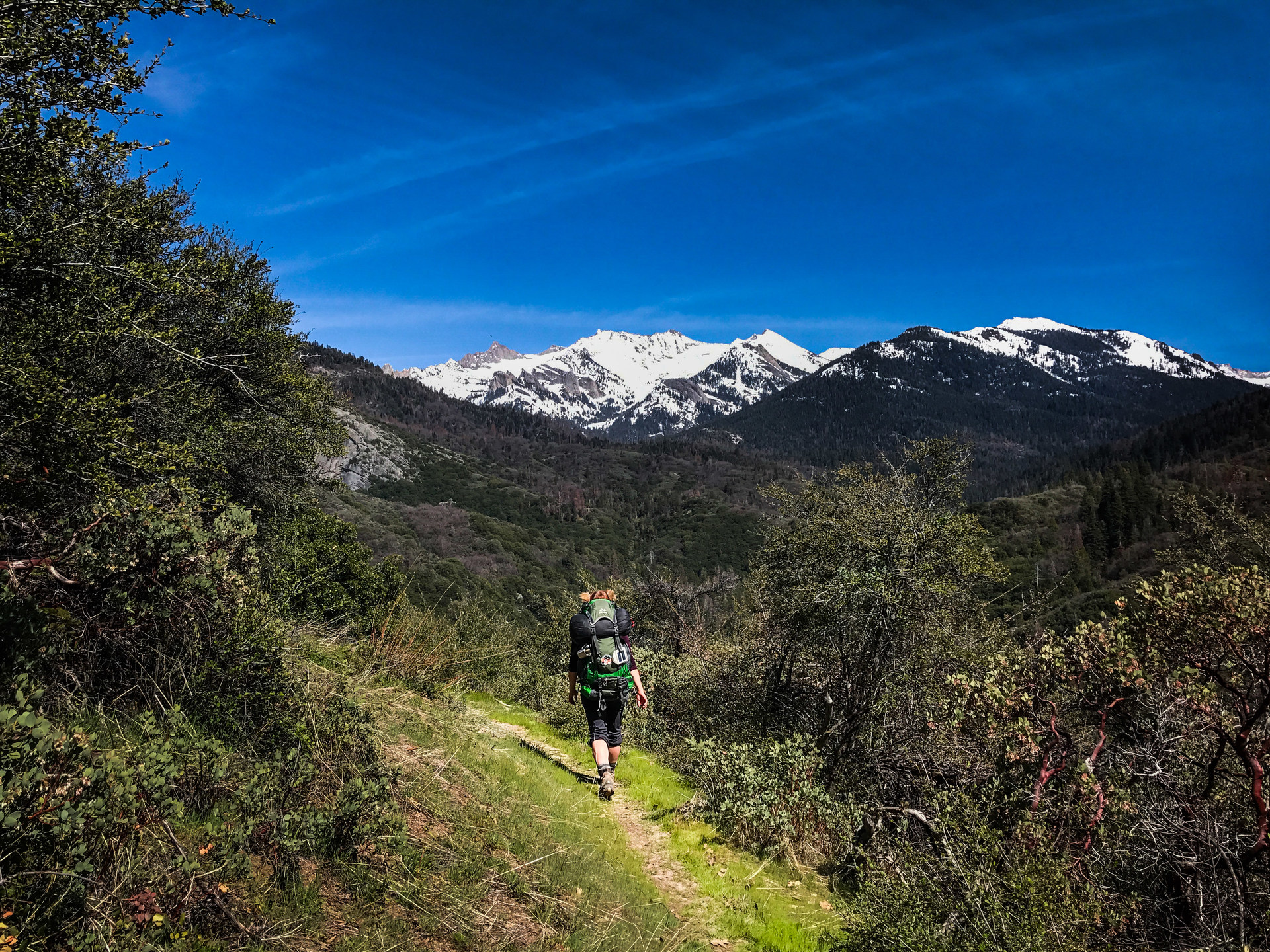
In today's world of technology, it's healthy to get away from civilization, cell phones, facebook and everything else we're typically plugged into. It is also a very rewarding experience to see the beauty this world has to offer, and nothing makes you appreciate it more than having to work a little for it. As a great man once said, "Thousands of tired, nerve-shaken, over-civilized people are beginning to find out that going to the mountain is going home; that wildness is necessity; that mountain parks and reservations are useful not only as fountains of timber and irrigating rivers, but as fountains of life." -John Muir
All of the trips listed below fall into the category of backpacking (sometimes referred to as primitive or backcountry camping). For each of these trips, I've rated each one using the following criteria:
I hope you enjoy the pictures and stories and get a chance to visit these wonderful parks. And if you feel so inclined, I 'd love to hear form you.
JUL 15
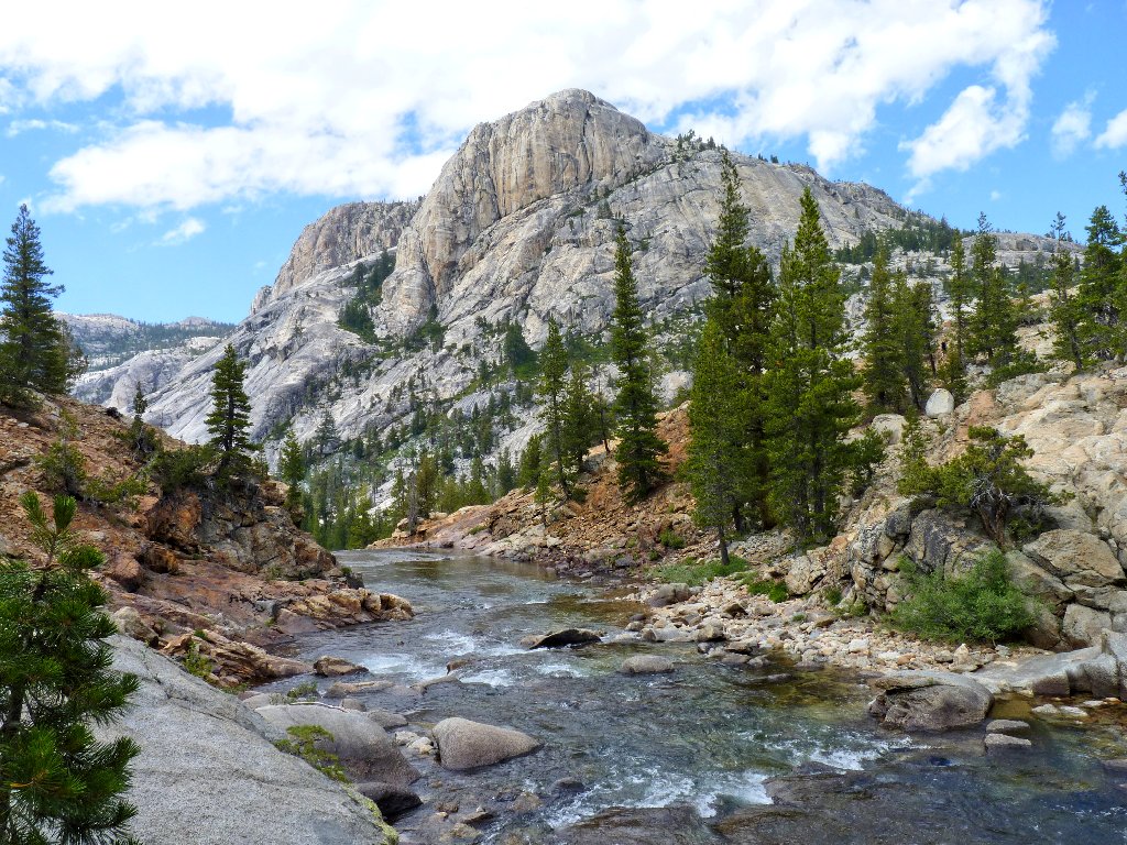
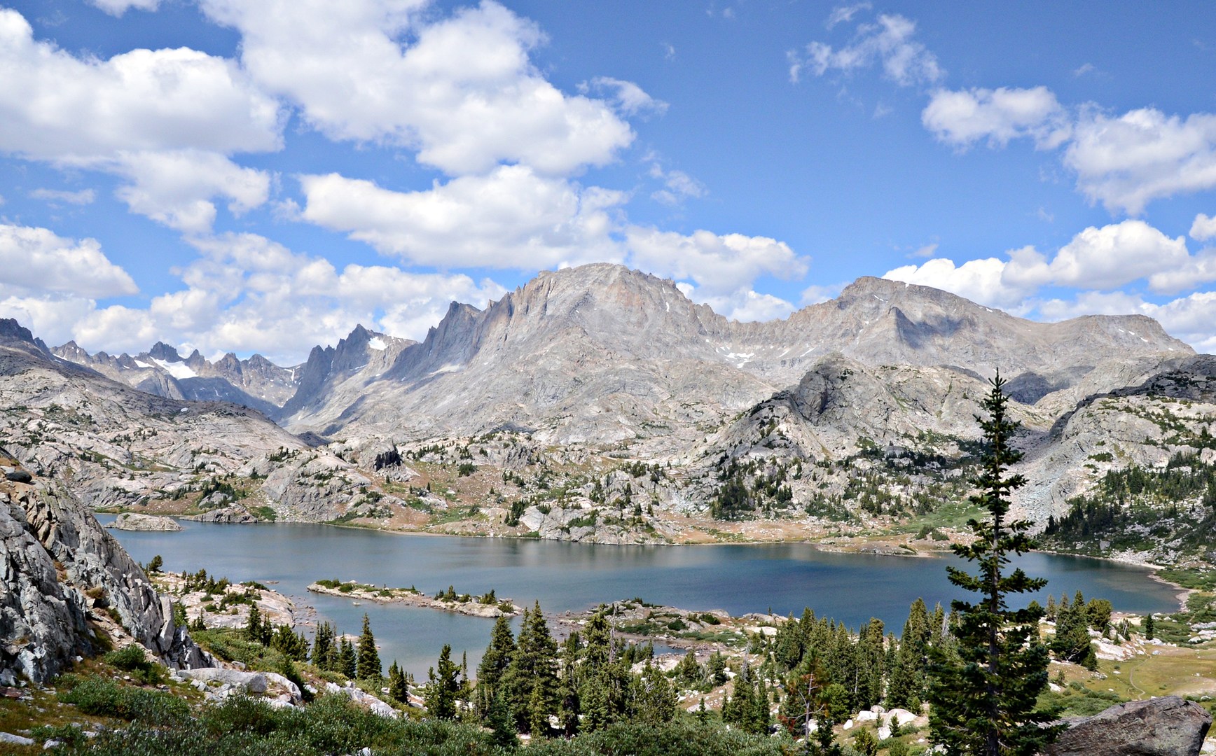
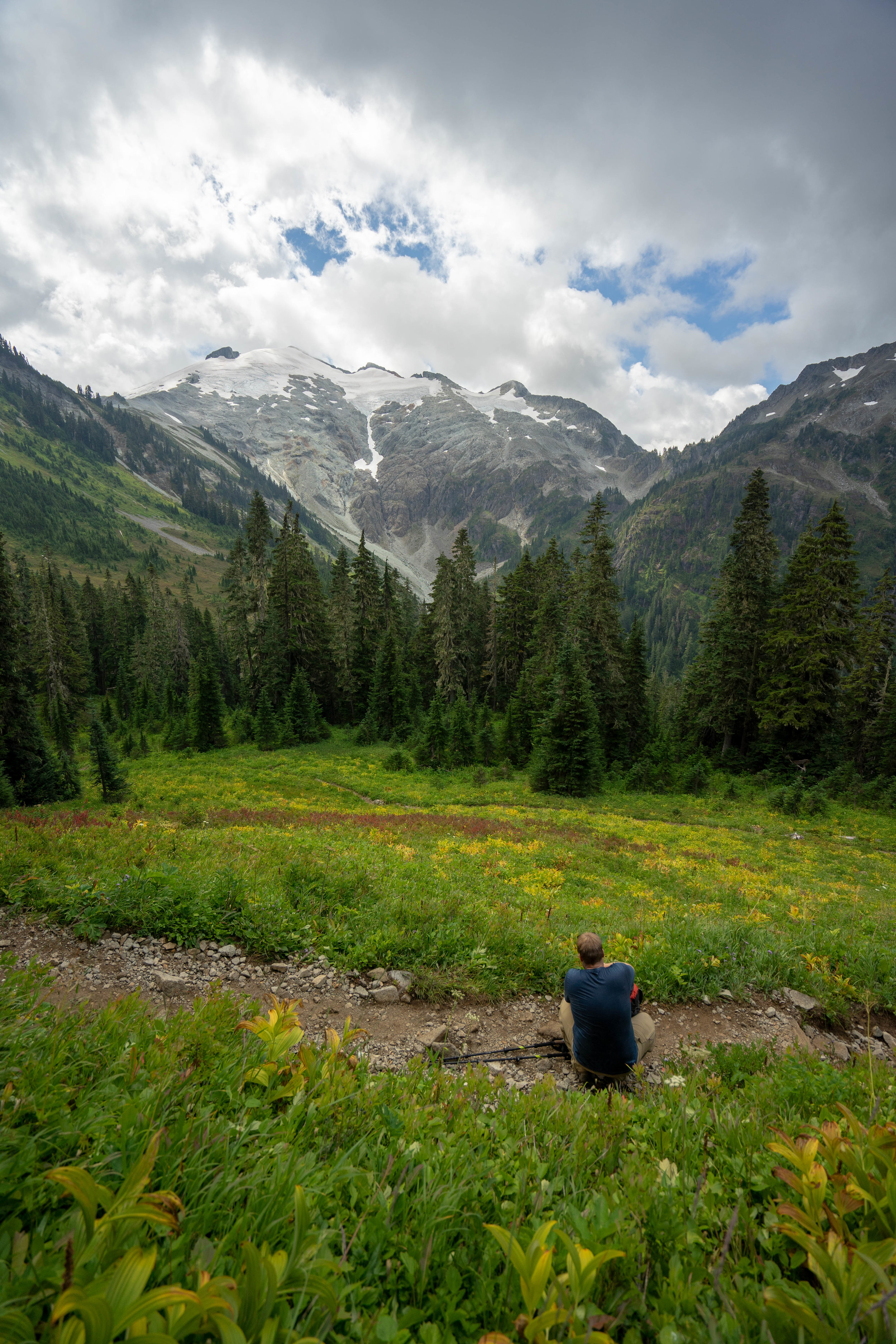
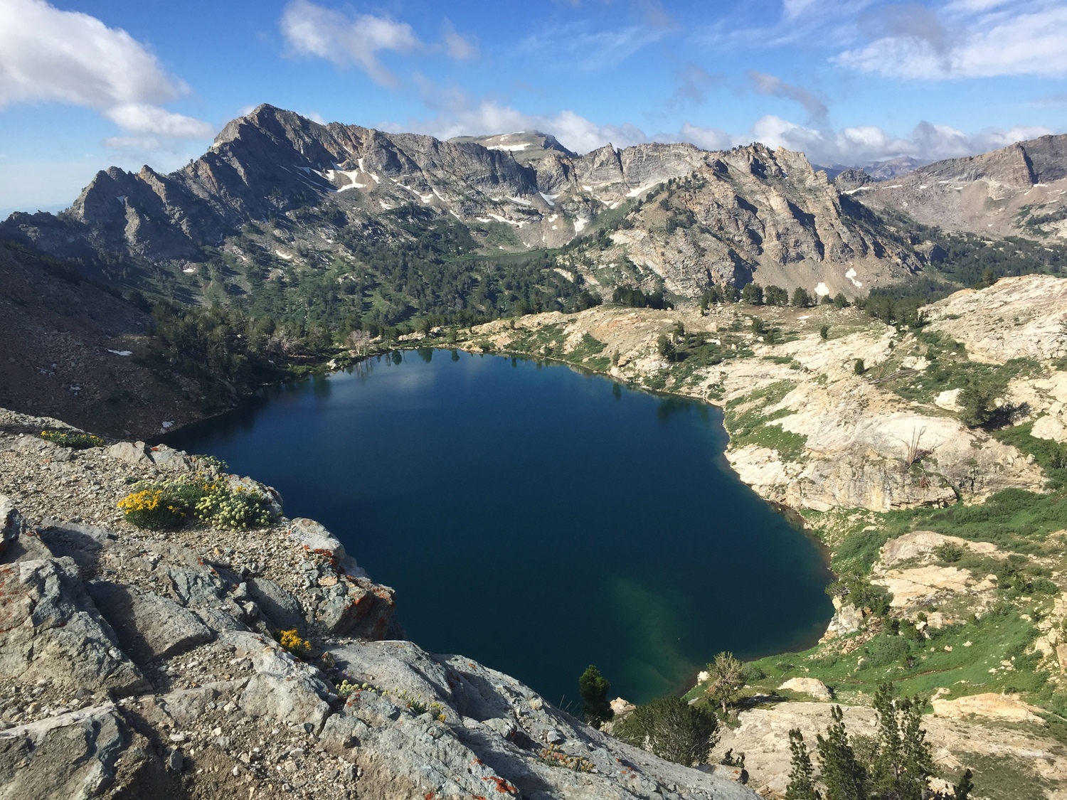
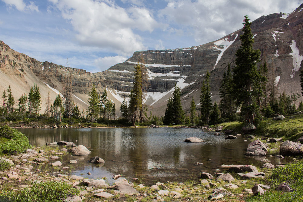
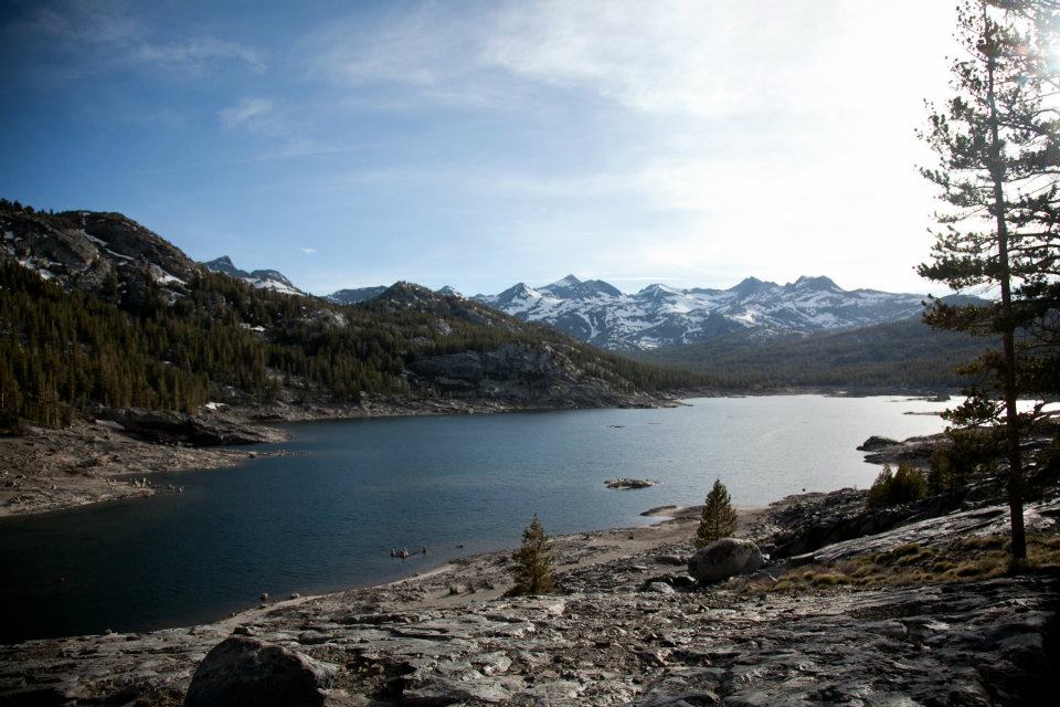
Sky Pilot Loop - Bridger Wilderness, Bridger-Teton National Forest
Photo Gallery
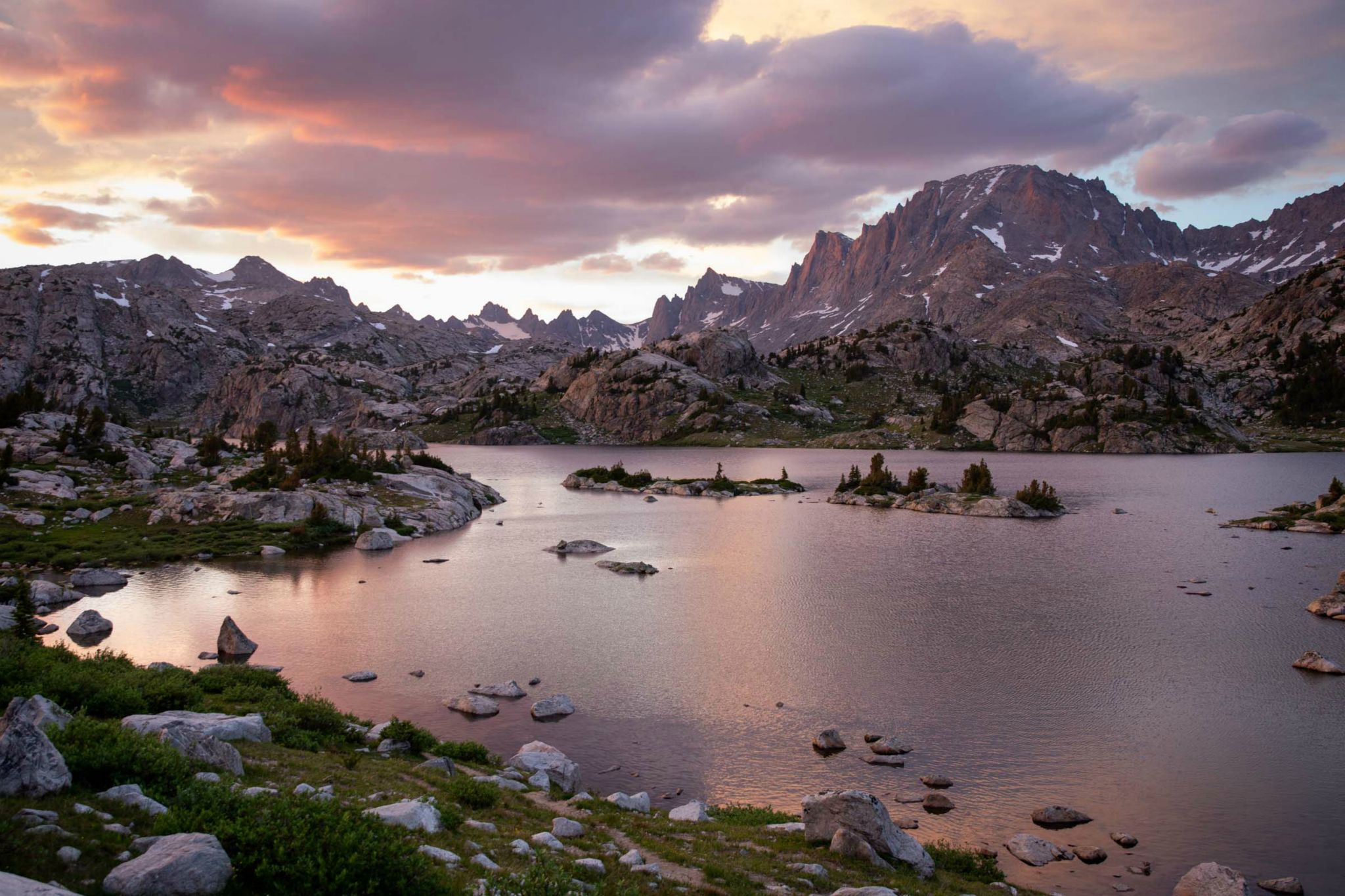
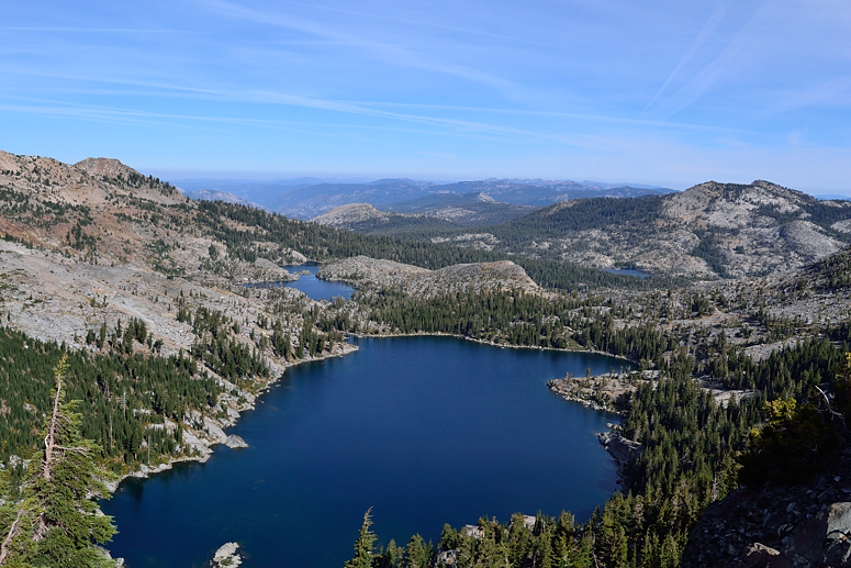
We head to the scenic Titcomb basin and make a four-day loop out of it via the Sky Pilot route. We spent two nights at Island Lake with a day hike to Titcomb, then a night at Summit Lake. A tough day then got us back to the trail head, with the total trip length at 55 miles.
SEP 29
.jpg)
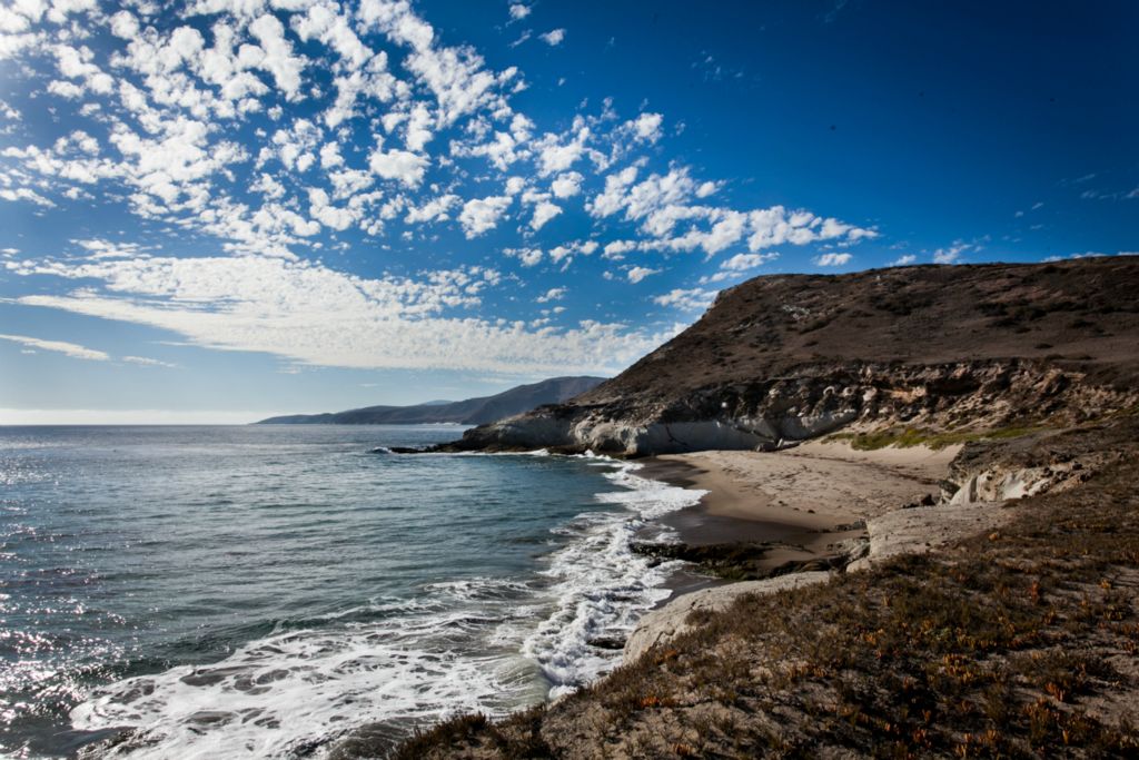
A quick overnighter to the most western point in the continental United States.
SEP 26
.jpg)
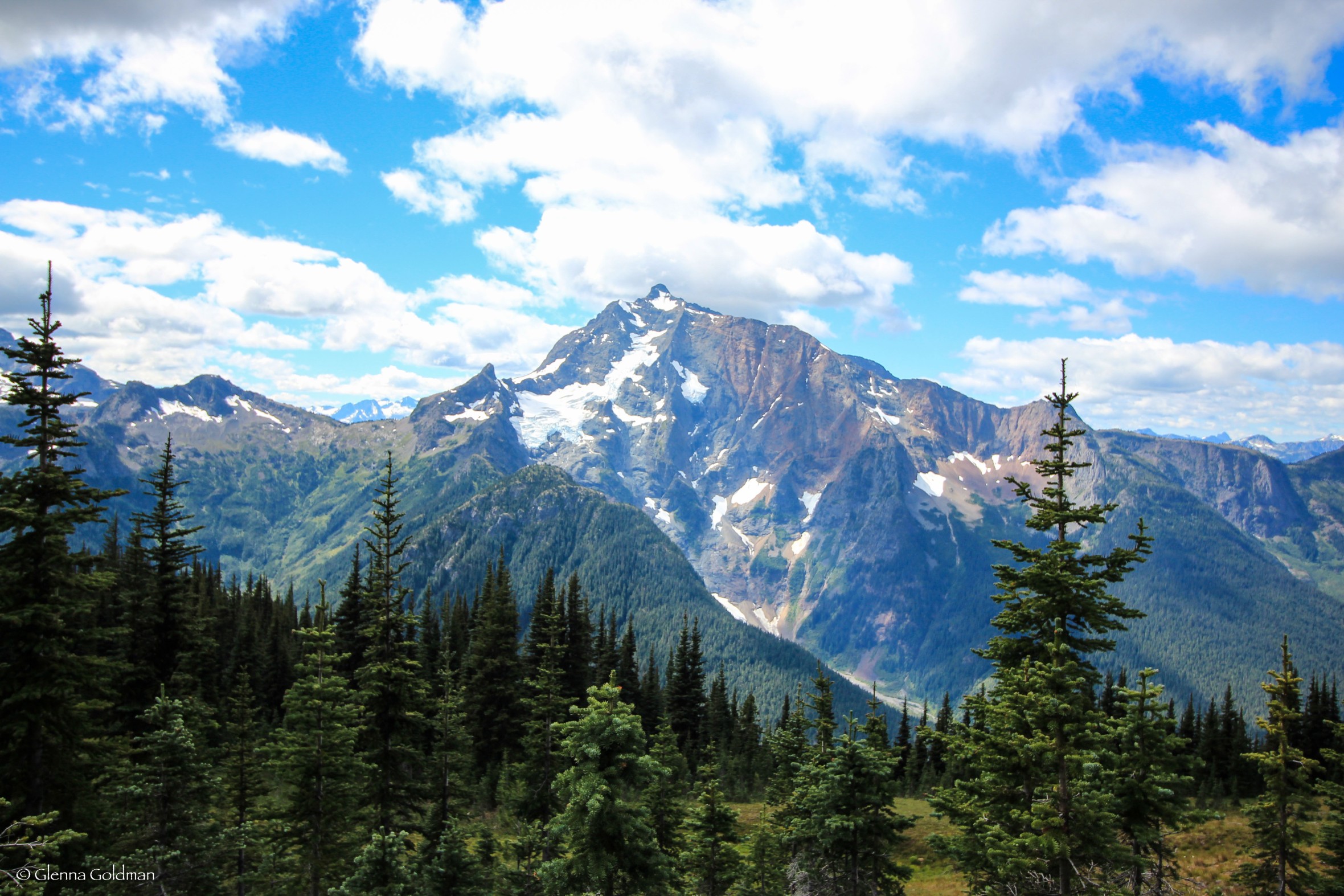
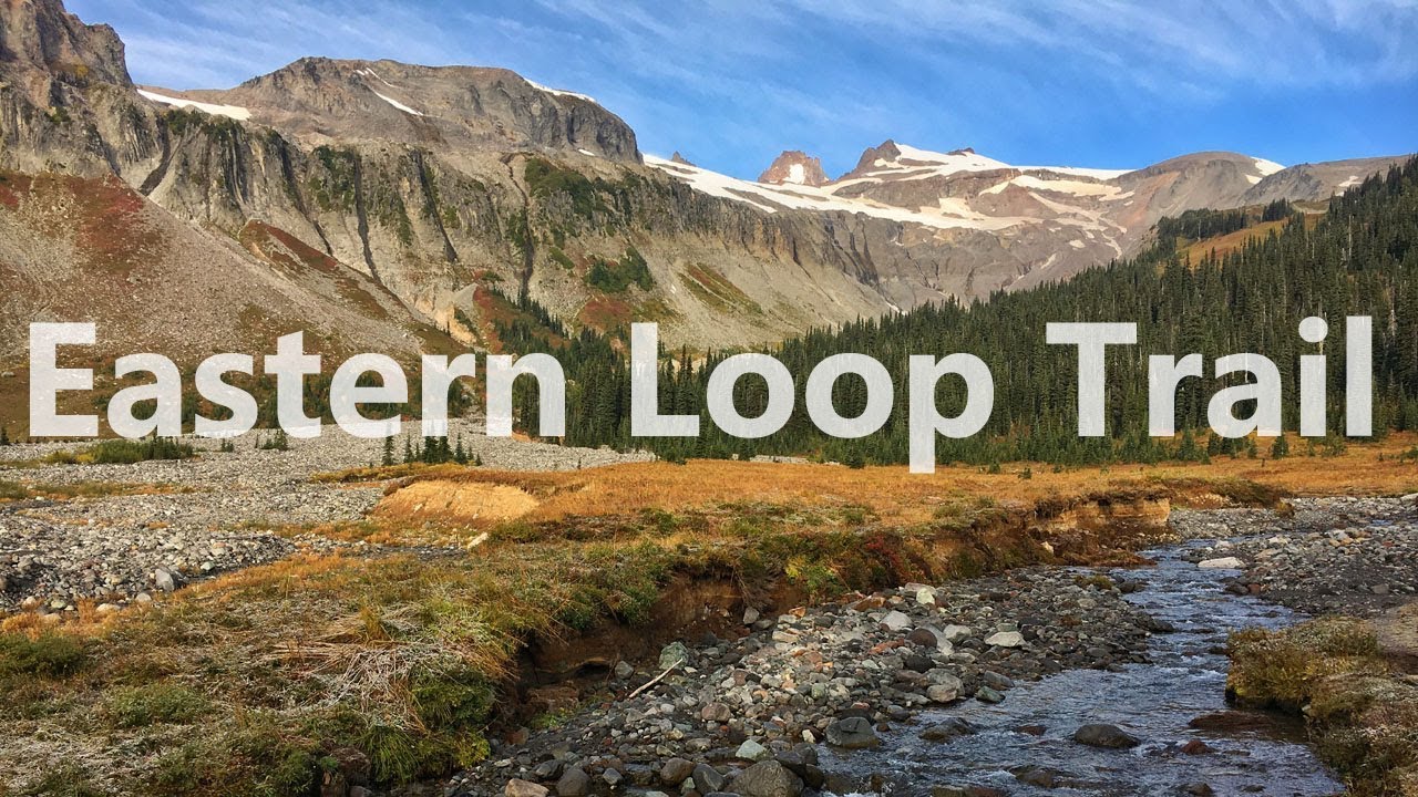
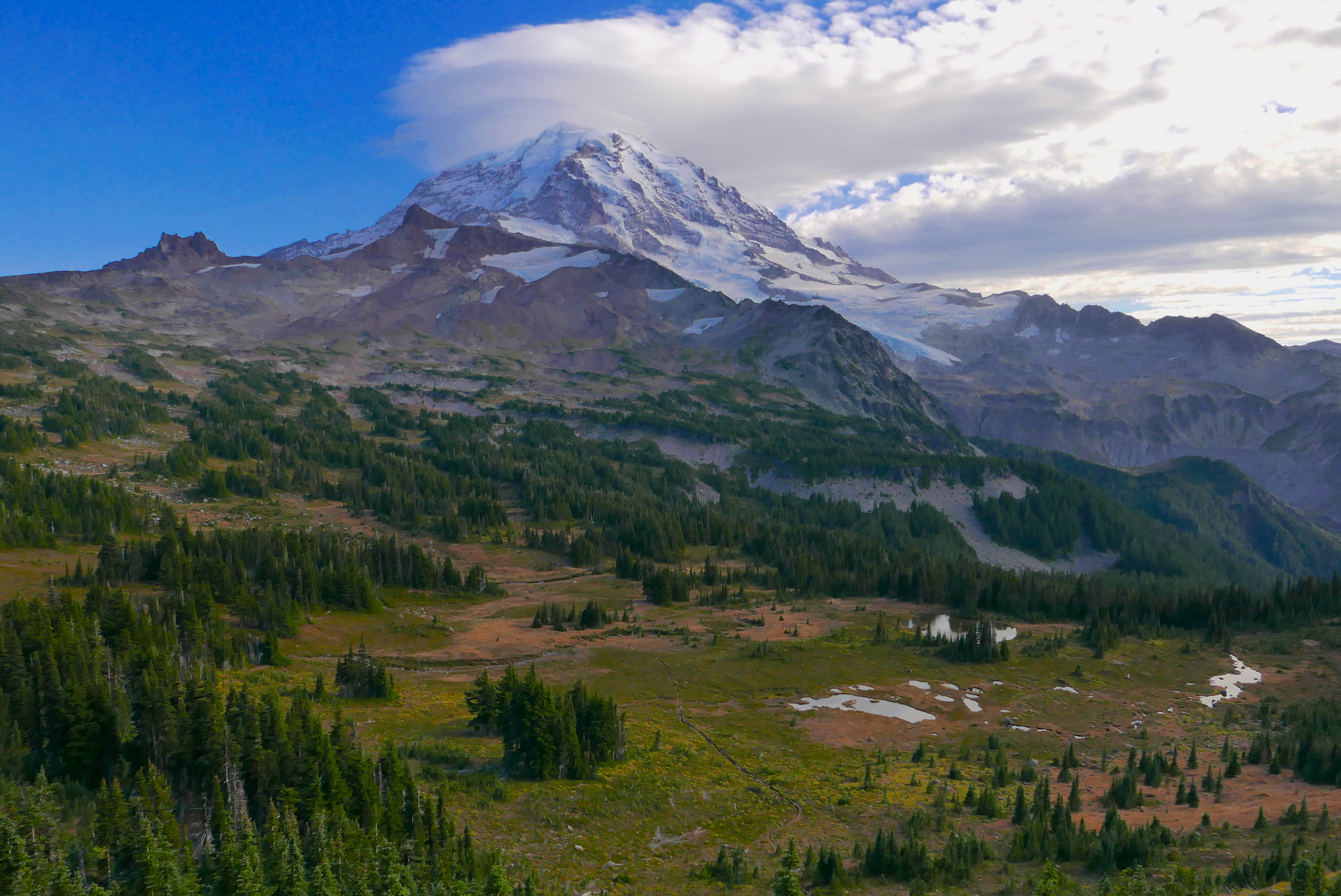
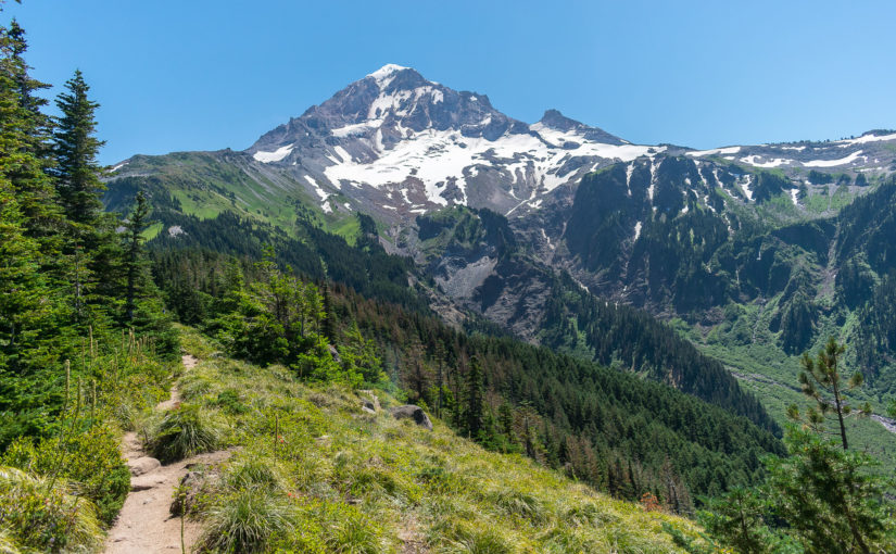
With only a few days to experience Rainier, we head to Spray Park for two nights.
JUL 25
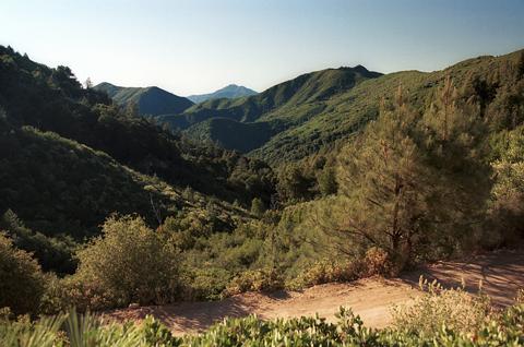
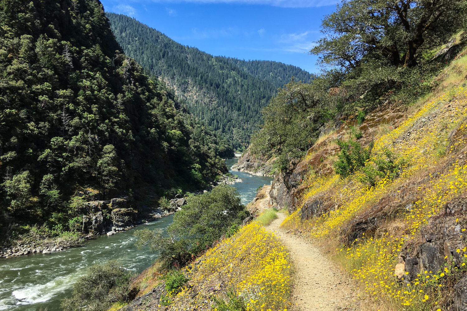
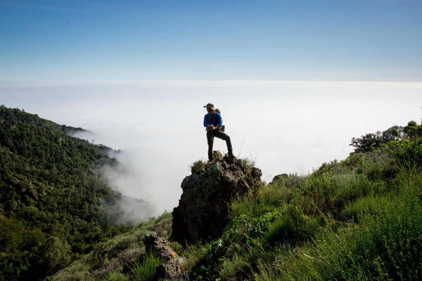
Kirk Creek - Ventana Wildernss, Los Padres National Forest
Photo Gallery
.jpg)
Plans to head to the Sierra mountains were dashed by flash flood warnings, so we take a quick trip to Big Sur for an overnighter in the Ventana Wilderness.
AUG 30
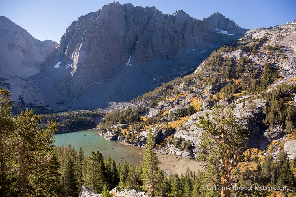
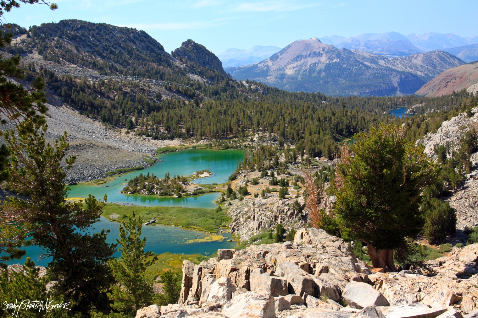
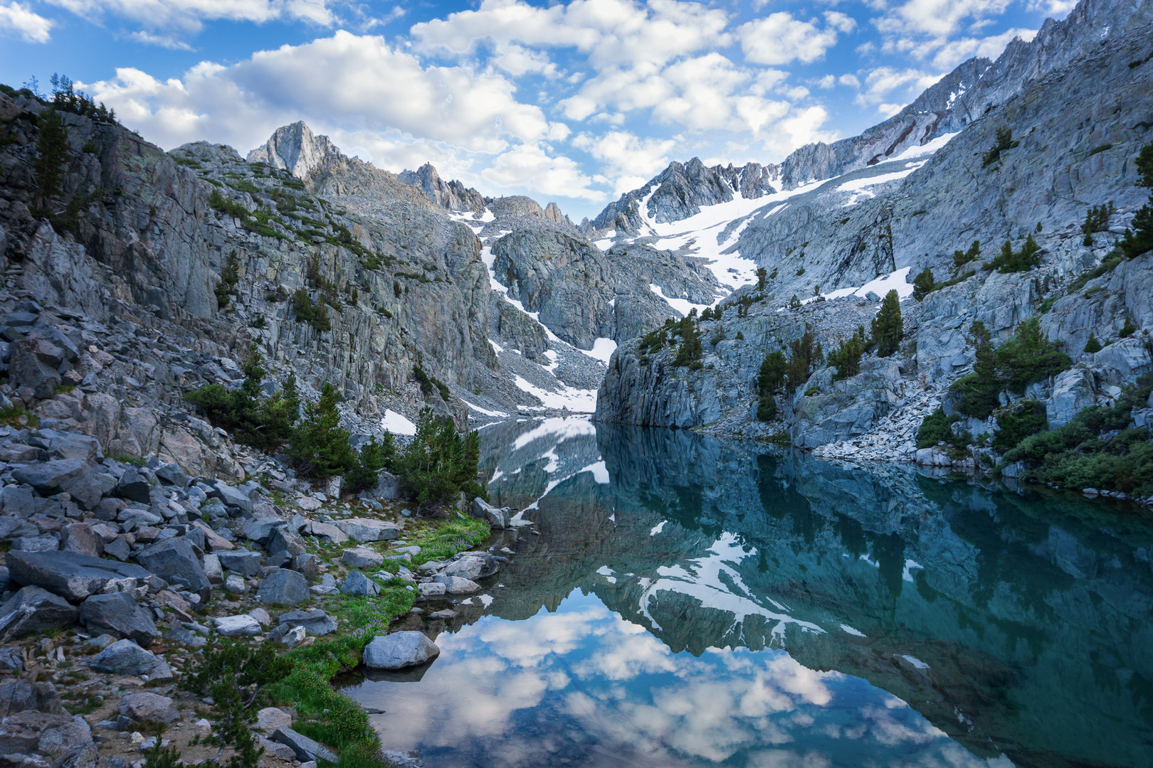
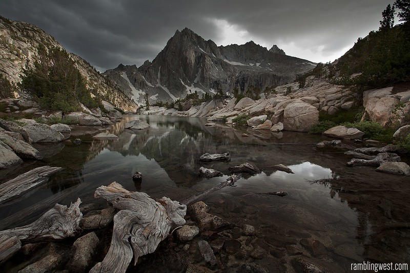
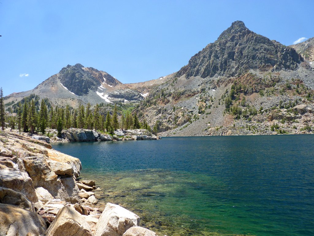
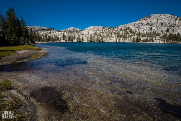
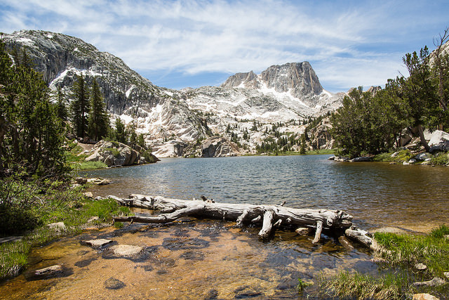
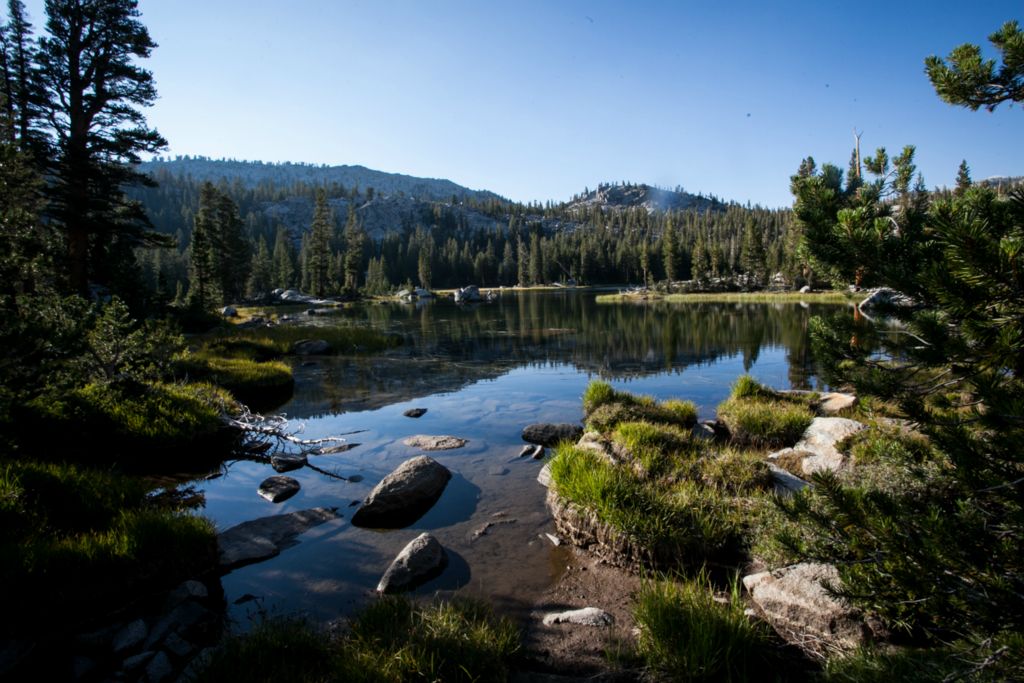
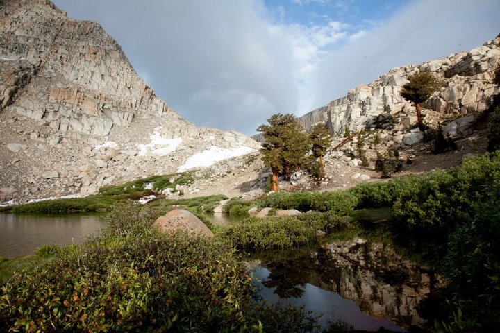
Big McGee Lake and Tully Lake - John Muir Wilderness, Inyo National Forest
Photo Gallery
The first handful of options for Memorial Weekend were not available as walk ins, so we were finally able to secure a trip for three to Big McGee Lake for two nights. We make our 7 mile, 3000 vertical foot hike to McGee and then spend our second day hiking to Tully Lake. Overall a great trip.
APR 25
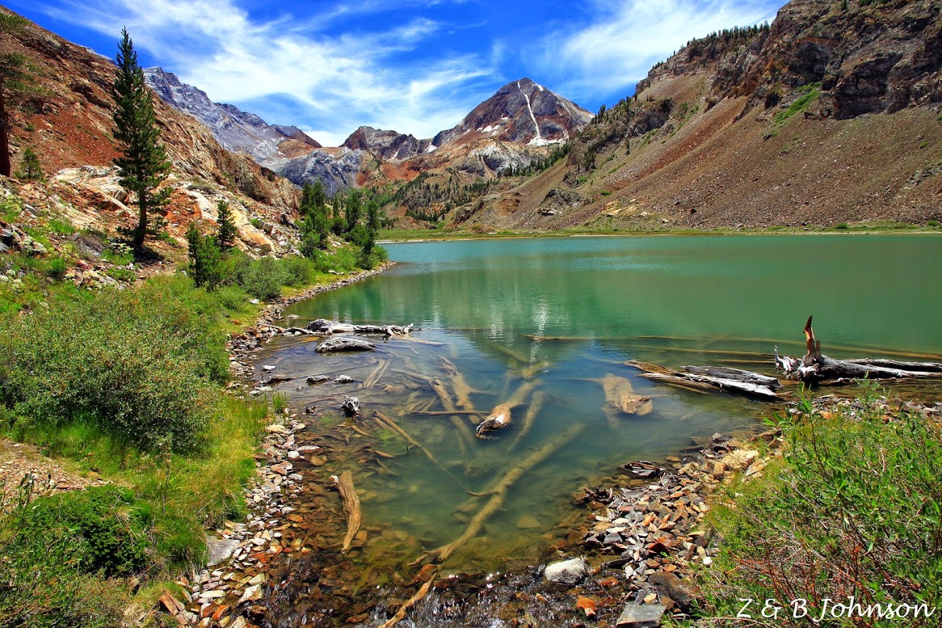
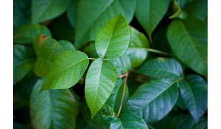
Silver Peak Loop (Buckeye > Cruikshank > Salmon Creek) - Silver Peak Wilderness, Los Padres National Forest
Photo Gallery
Weekend trip to the Big Sur area where we explore the Silver Peak wilderness. The marine layer prevented any ocean views and un-maintained trails resulted in a scrape filled weekend. Oh, and the poison oak wasn't helpful.
AUG 21
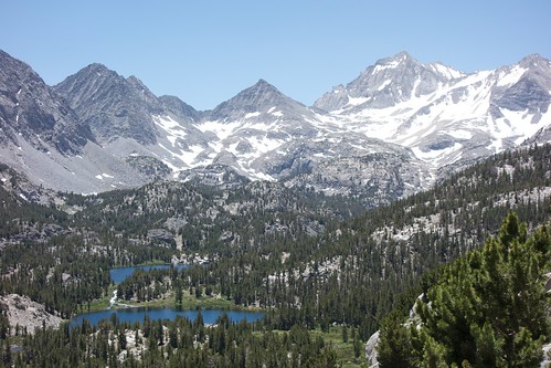
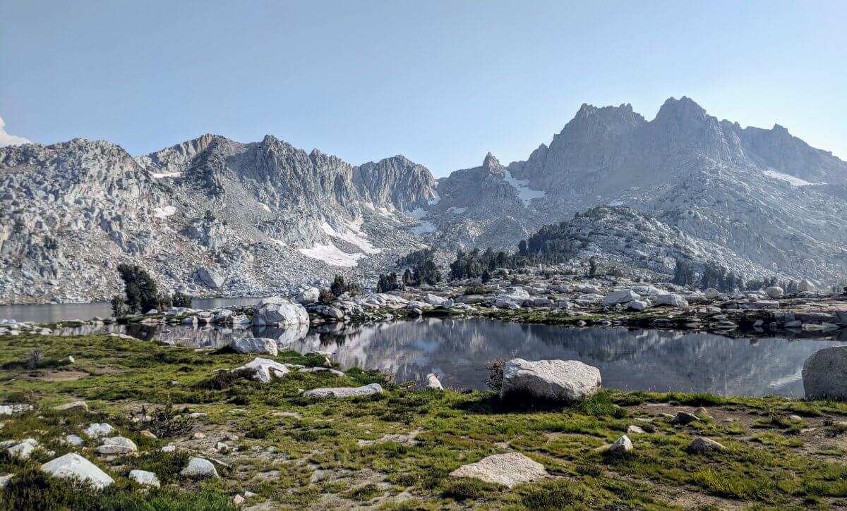
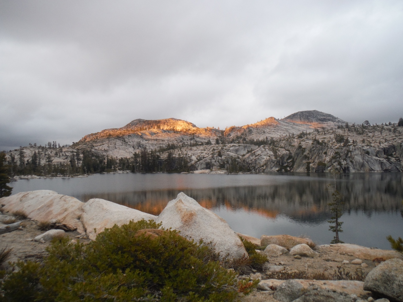
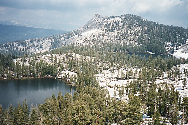
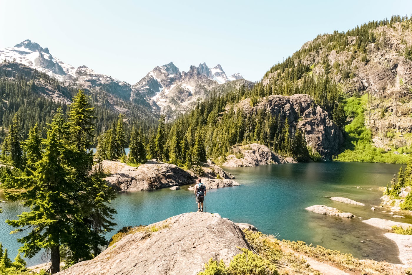
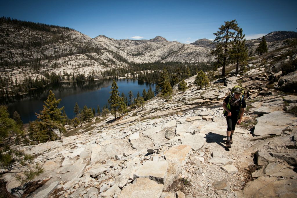
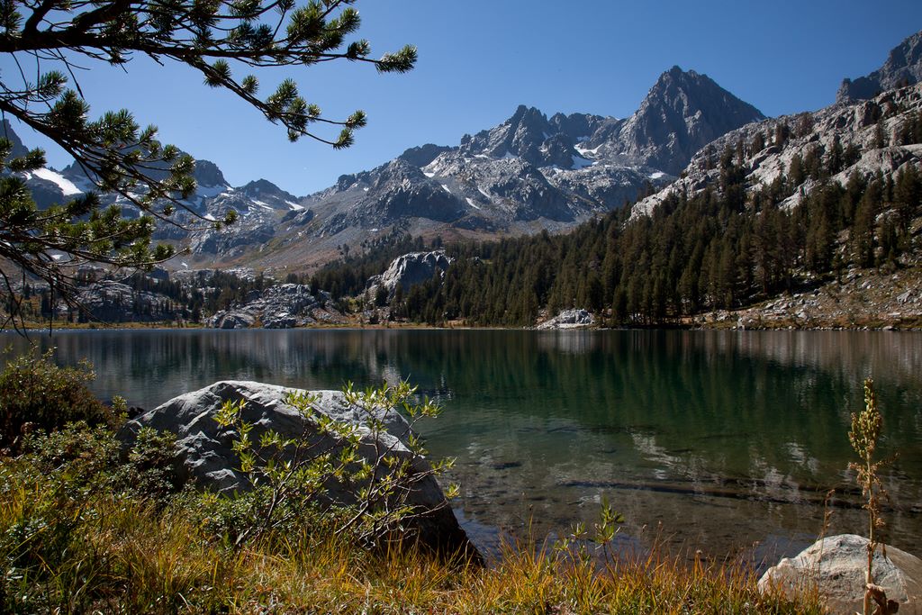
North Lake to South Lake Loop - John Muir Wilderness, Inyo National Forest
Photo Gallery
.jpg)
A 55 mile hike through some of the most scenic sections of the Sierra Nevada.
NOV 4
My buddy from Texas wanted a quick getaway so we headed to the Tuolumne Meadows in Yosemite for a one night trip. Due to quota limits, we ended up heading to Pate Valley. Starting from White Wolf, it's an 11 mile hike that drops 3500 feet of elevation. Despite the pain, it turned out
JUL 1

With most of the Sierra under snow, we head to Lillian Lake nestled in the Ansel Adams Wilderness for two nights. Starting at the Walton trailhead, we hike 7 miles to camp and encounter snow the last half mile. We then day hike to Flat Lake before returni
NOV 4
.jpg)
Late in the season but no snow yet, we sneak in one last trip for the year. Starting at Summit Trailhead off a Forest Route 20S71, we make the 9 mile journey to Maggie Lakes. We spent two nights there and took the opportunity to explor
AUG 20
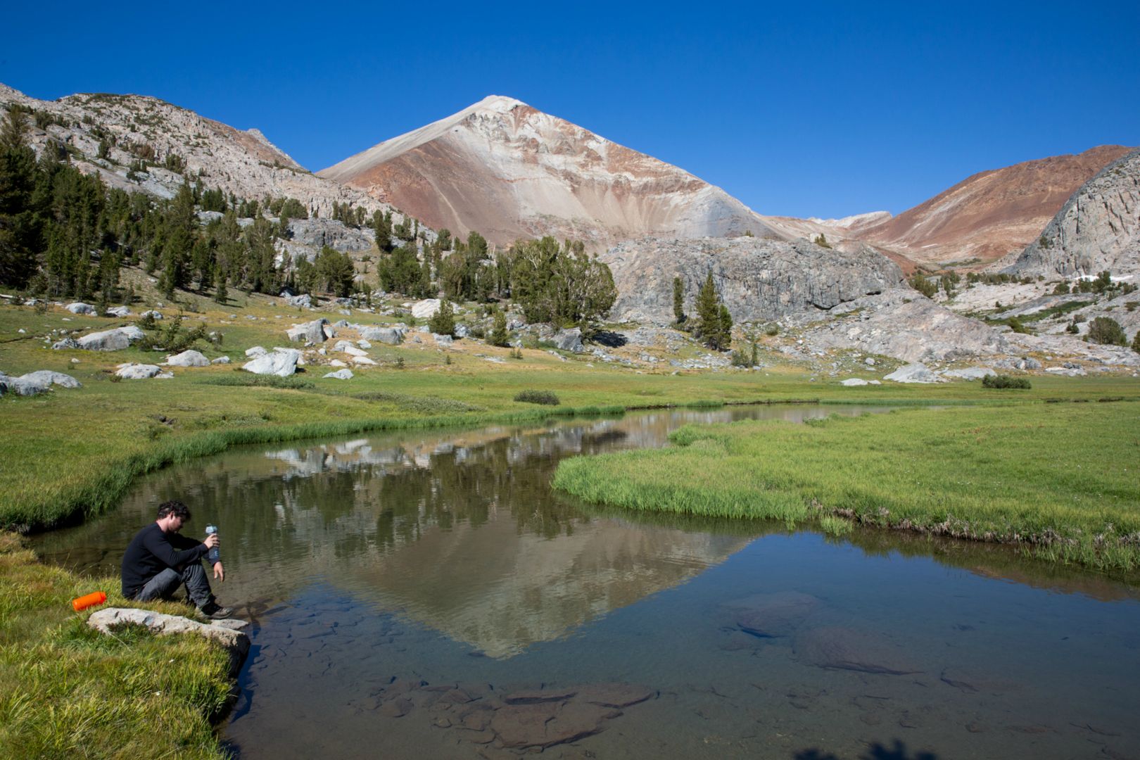
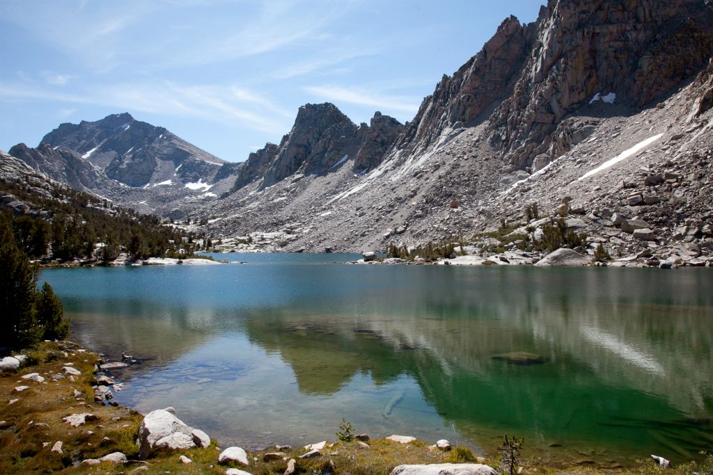
Pioneer Basin - John Muir Wilderness, Inyo National Forest
Photo Gallery
.jpg)
With only enough time to do an overnighter, we pick the challenging route to Pioneer Basin. The Mosquito Flat trailhead is at 10,000 and you have to go over Mono Pass at 12,000. The views are worth the price of admission.
MAY 19
Still too cold to head to the Sierra, we once again use the fallback option of Ventana Wilderness in Big Sur. This two night, 30 mile trip started at the Botcher's Gap Trailhead where we spent two nights at the picturesque Pat Springs. The second day we day hiked to Ventana Double Cone, which was tough due to overgrowth but had beautiful views (even if they clouds made seeing the view challenging).
MAY 6
Since it was too early to venture into the mountains, we instead head to the desert. Starting at Ryan Trailhead and hiking the California Riding and Hiking trail to the base of Quail Mountain, we intended to spend two nights but after not being that impressed, we drove down to the Salton Sea for some Mad Max style adventure.
SEP 10
.jpg)
We venture out into the wilderness for a four day trip through Emigrant Wilderness covering 37 miles. Starting from Kennedy Meadows, we head towards Buck Lake with a one night stop there and back.
JUN 19
Starting from Twin Lakes, we head to Robinson Lakes for two nights, and complete a loop around Crown point (23 miles total). It was a weekend filled with scenic lakes and vicious mosquitoes.
MAR 29
Looking for an early season trip to a new location, we find ourselves heading to Santa Barbara and the San Rafael wilderness. We spent the weekend chasing an elusive waterfall and putting a first timer through his paces on the Hurricane deck trail.
AUG 8
Looking to take a group to Half Dome for their first time, lack of permits resulted in taking a longer route to get there. And a machete resulted in one less person making it to the summit.
JUN 13
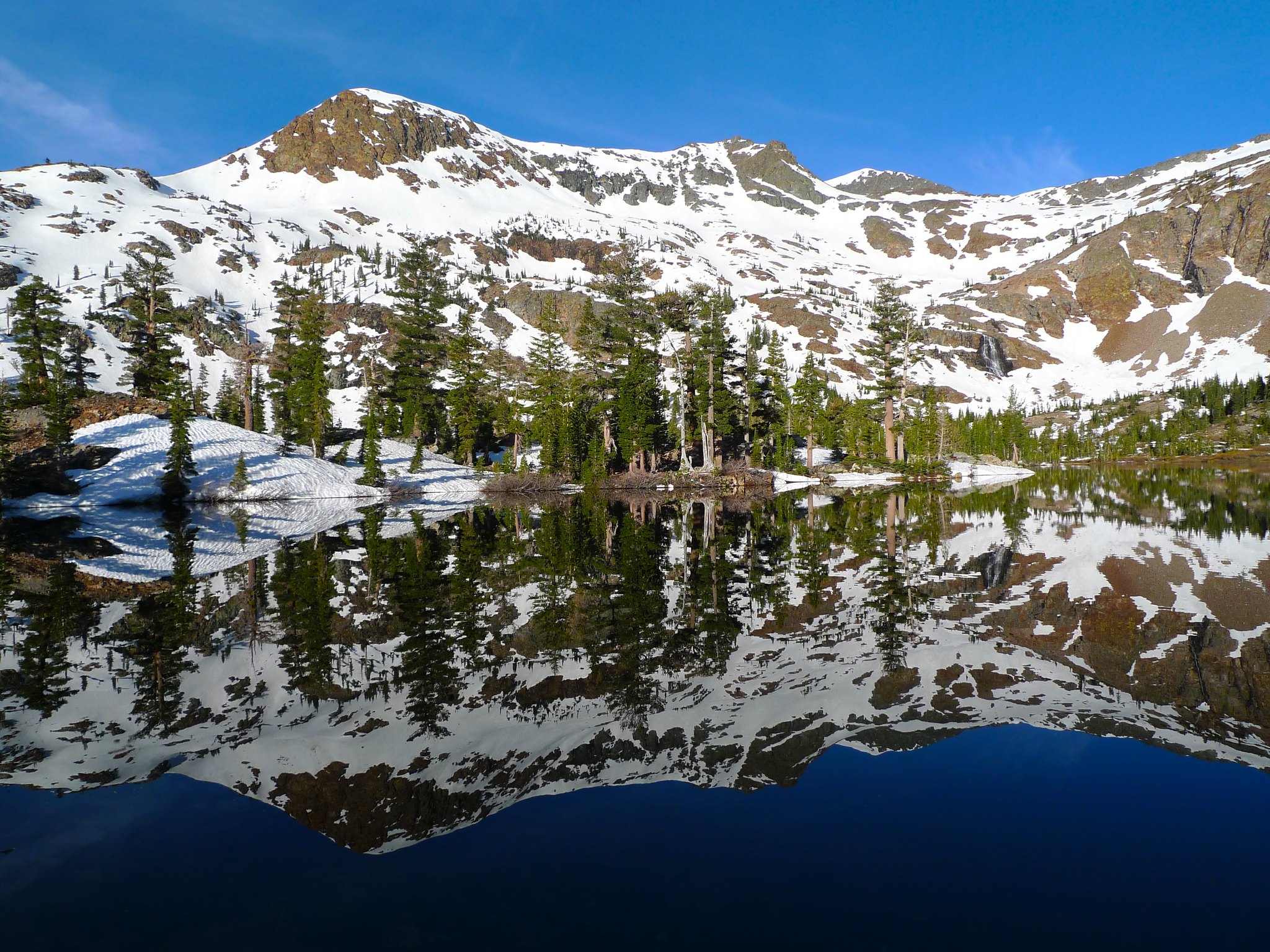
A perfect time to head into the Sierra, we look for a new area to explore. Just north of Yosemite is the pristine Hoover Wilderness where we spend two nights. Starting from Leavitt Meadows, we head to Upper Long Lake for the first night and then hike to Stella Lake for the second night. Total distance is around 30 miles.
APR 14
For an early season trip, we make the short drive from Los Angeles to the Dough Flat trailhead in the Sespe Wilderness. From there, we spend two nights at the Alder Creek Camp and day hike to the Sespe Hotsprings.
MAR 14
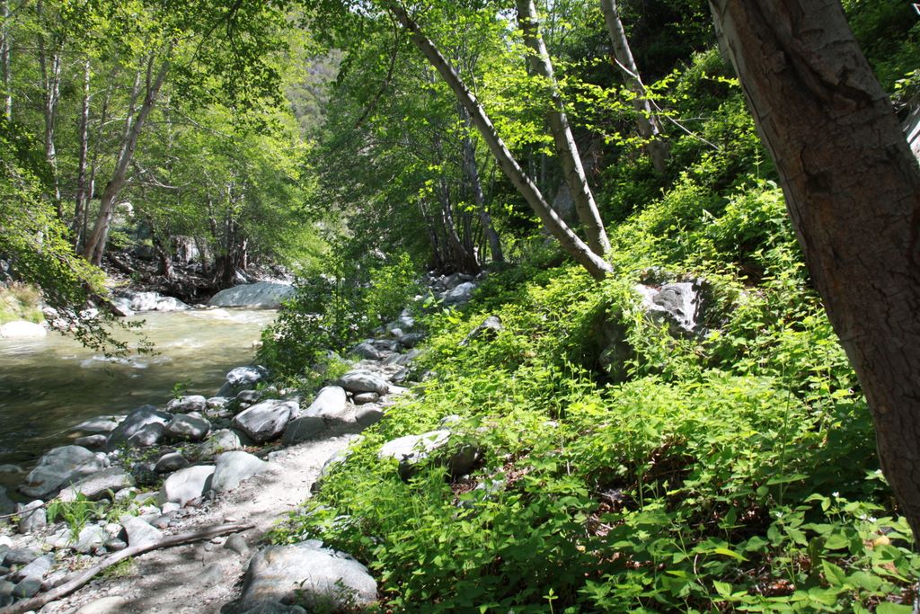
With the Sierra under snow and not wanting to strap on snow shoes, Big Sur and the Ventana Wildernss sounds like a great option. My buddies and I picked the most popular hike in the wilderness, Sykes Hot Springs.
NOV 9
With winter fast approaching and not prepared to deal with snow, we take a trip to the Channel Islands National Park for a couple of nights. We discovered the best places to camp, but only after the fact.
AUG 9
Wanting to see big scenery in an unfamilar area, we decided to check out the Red Mountain Basin. Two nights wasn't enough to see everything we wanted but it was a good first taste. A little better planning would have gone a long ways.
MAY 10
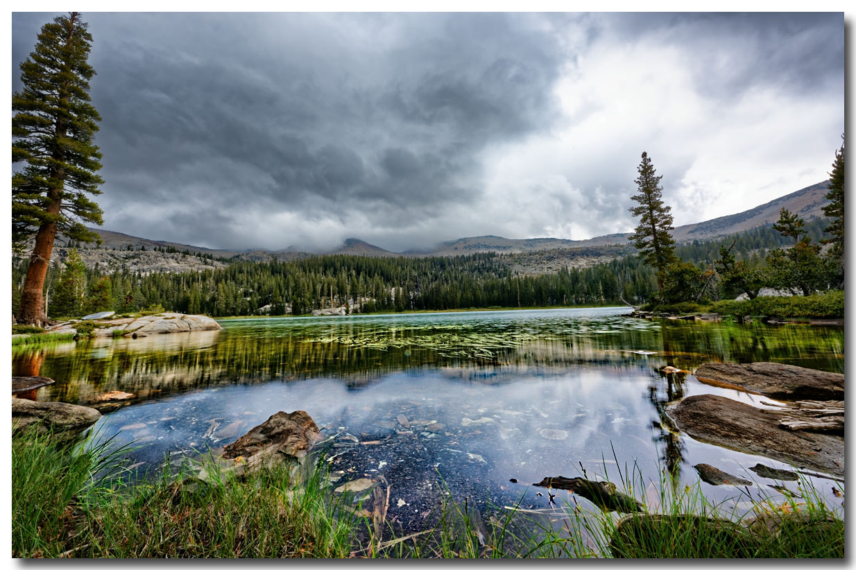
With it still early in the season, we found a three day loop in Yosemite to get things going. We found waterfalls, bears, and some solitude.
AUG 3
Three day loops are hard to come by in the Sierra so when we found one that required a little cross country route, we figured "no problem". A couple of costly mistakes proved otherwise.
JUN 8
Wanting to take some first timers on an easy but scenic trip, we head to the Ansel Adams Wilderness for two nights. We push the newcomers to their limits but this trip is capped with a trip to Thousand Islands Lake.
SEP 19
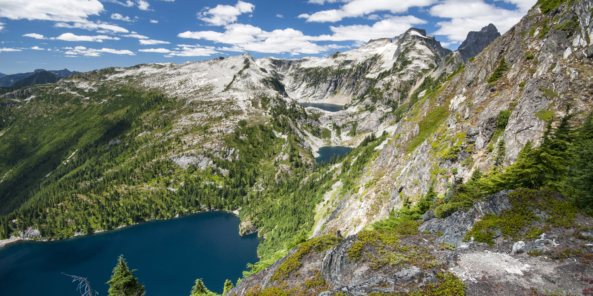
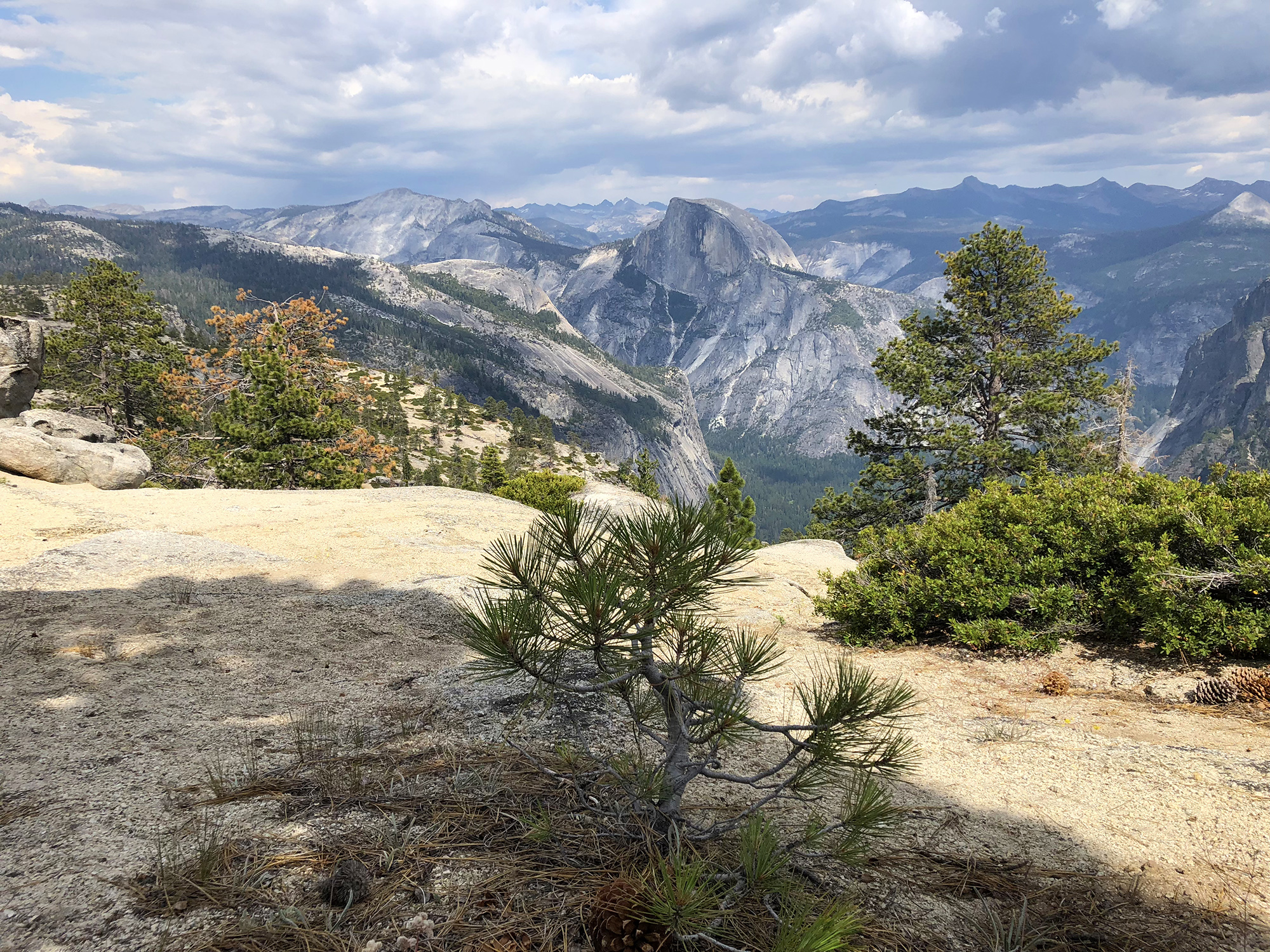
Tuolumne Meadows to Merced Lake - Yosemite National Park
Photo Gallery
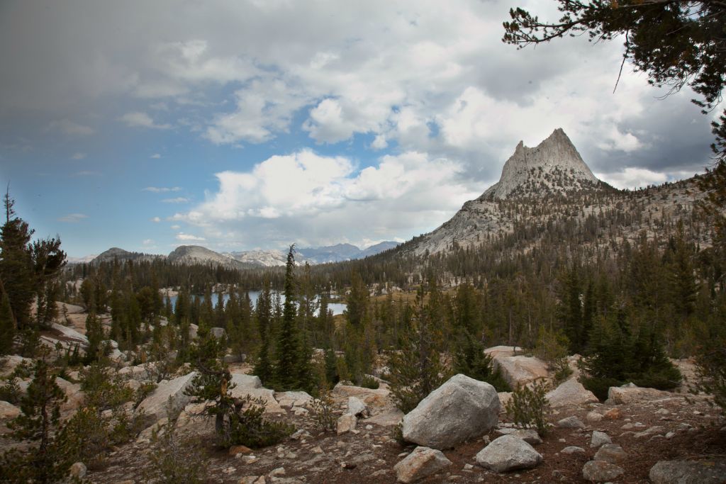
After several trips to Yosemite, I finally decided it was time to see Tuolumne Meadows. This loop starts in Tuolumne and heads through Vogelsang, Merced and Sunrise camps.
SEP 15
Starting in Onion Valley, a few friends and I head over Kearsarge Pass (11,823ft) and spend a couple of days at the scenic Kearsarge Lakes.
AUG 15
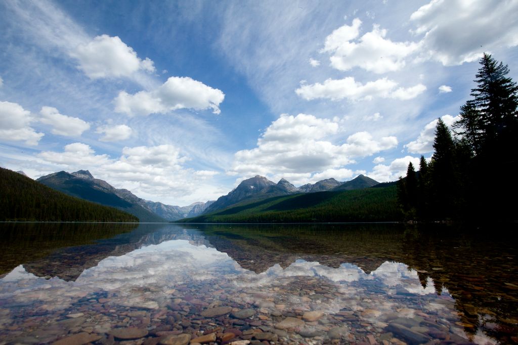
This adventure begins with a few buddies and an overnight train ride from Seattle to Montana. After being unable to land our first choice for campsites, we cobbled together an amazing trip. Read more here.
JUL 27
Taking Beau on an overnighter for his first official backpacking trip, we weren't going to let some damp weather get us down. We learned a few lessons along the way, like it's a bad idea to wear tennis shoes with no socks.
MAY 19
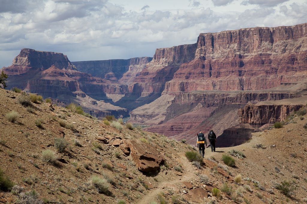
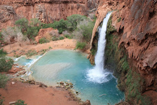
Another bucket list trip, we head to Arizona to tackle the Big Ditch. This was a challenging route from Lipan Point to Grandview Point with a couple of nights along the Colorado before a stop at an old mining camp. Read the trip report here.
FEB 11
Reyes Creek to Pine Mountain Lodge - Sespe Wilderness, Los Padres National Forest
Photo Gallery
Another trip to Sespe Wilderness, only this time with a lot less snow. Mike and I do an overnighter, check out some ladybugs and try not to fall in the water. Read all about it here.
SEP 23
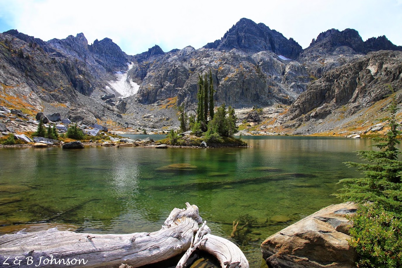
Last (big) trip of the season and we found ourselves heading into the Ansel Adams Wilderness. My buddy Dale and I saw very little wildlife but we did find lots of adventure. We navigated steep talus fields, bolder hopped around a lake and then did a couple hundred feet of rock climbing. Read all about it here.
AUG 25

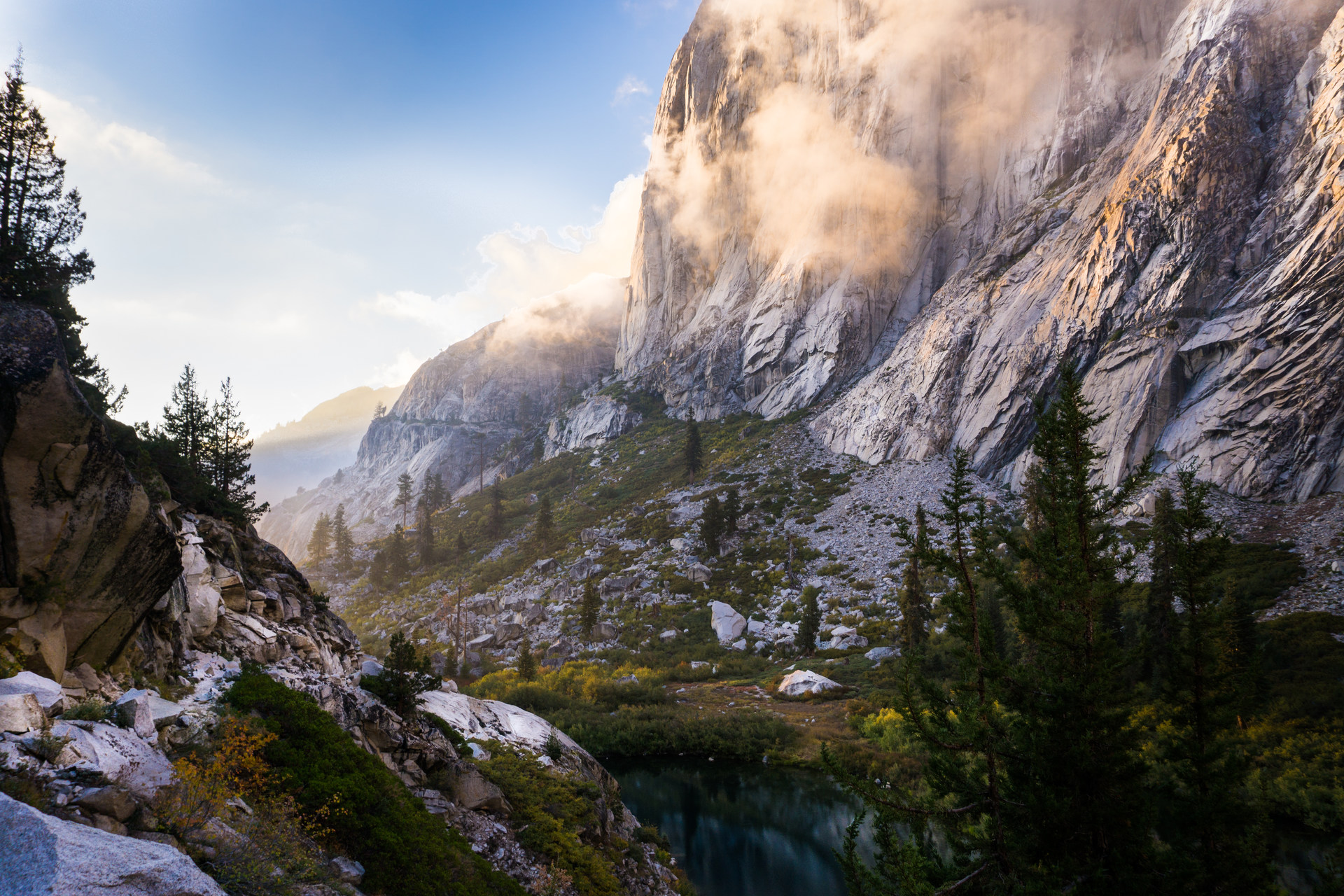
Another solo trip, this time in the Sierra Nevada. A three-and-half-hour drive from LA landed me in the southern Sierra Nevada where I had the opportunity to spend time with the marmots. This 15 mile overnighter had me camping at 11,000 feet and hiking at 12,000. Read the full details here.
JUL 10
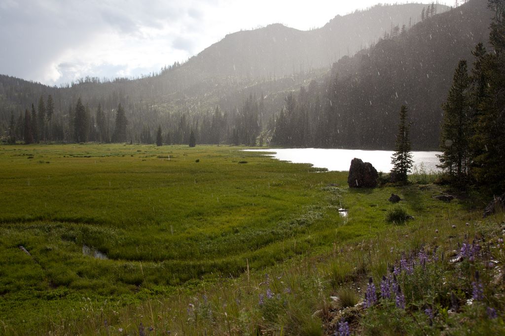
Crossing off another item from the life list, we head to Yellowstone to experience the Gallatin Skyline Trail. We hoped to see lots of wildlife in the backcountry but instead we found alpine meadows, lakes and lots of wildflowers. About the only wildlife we came across was a wolf and a herd of bighorn sheep. Read about the adventure here.
MAY 28
We head back to the mountains to experience one of the most popular trips in the Sierra Nevada, the 42 mile Rae Lakes Loop. In order to avoid some of the crowds, we chose to go early in the year when the snow was just starting to melt. The result was a lot of fresh prints in the snow and a lot of trail finding. Get the full story here.
APR 30
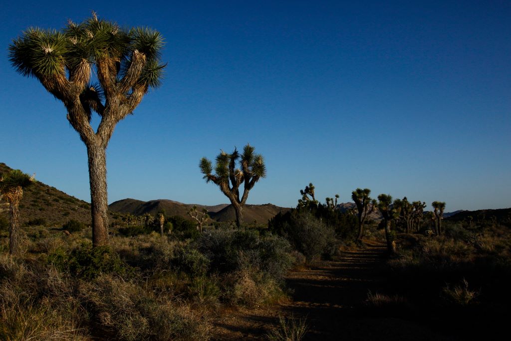
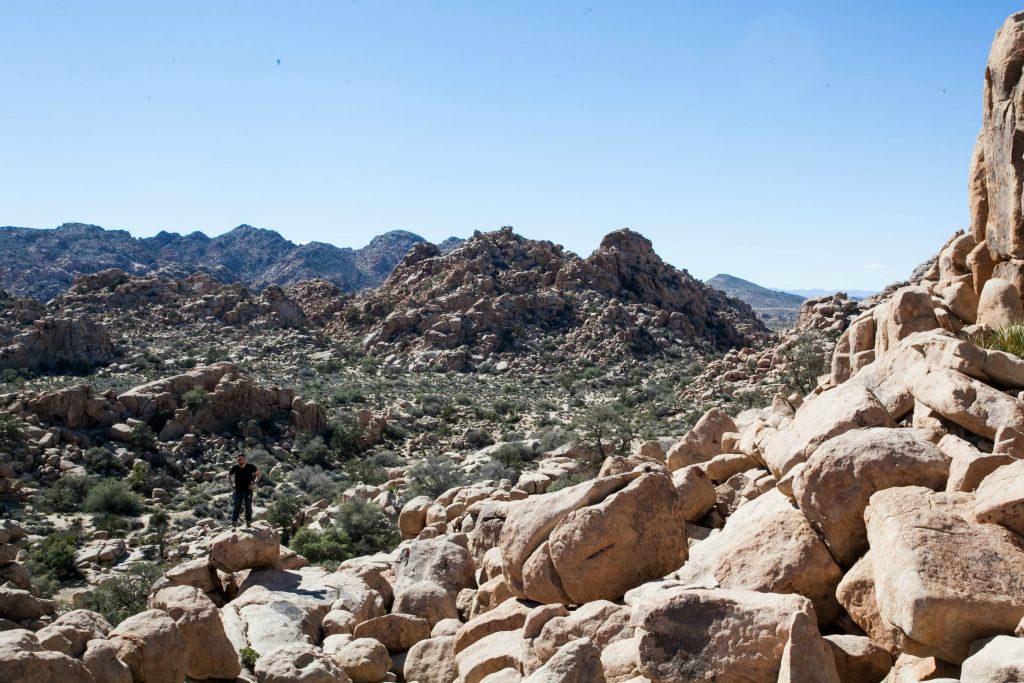
Back to the desert, this time to enjoy the spring bloom. My buddy Henry and I spent two days exploring the two desert environments that make up Joshua Tree. And it doesn't take long before you understand why they named the park after this quirky half tree half cactus. The sheer number of the trees located in the park is truly a site to behold. Read the trip report here.
FEB 20
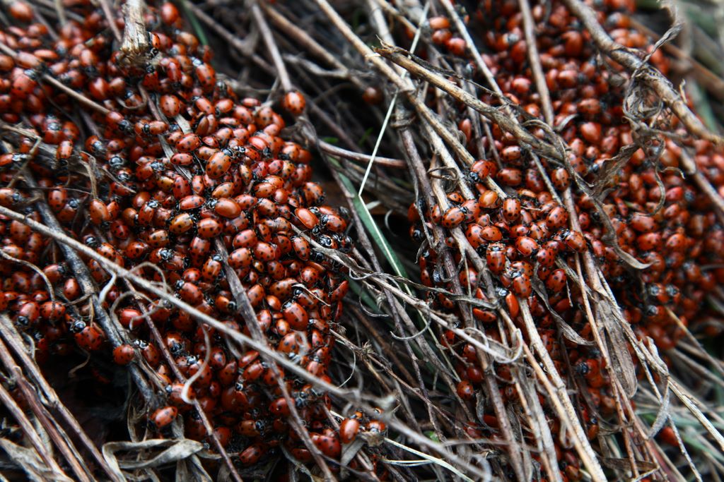
For my first solo trip, I decided to head into the Sespe Wilderness where the forecast called for rain and snow. On my trip, I would encounter large colonies of lady bugs, mountain lion tracks and more snow than I was prepared to handle. See all the details here.
FEB 6
With the forecast calling for rain, we headed to the desert to stay dry. And what place is better than Anza Borrego, the largest state park in the lower 48. It's a large and varied park which includes slot canyons, vehicle recreational areas and lots of hiking trails. We didn't stay dry but still had a great time. I'll defitiely be back, but the for the meantime, you can read our full adventure here.
OCT 1

Attempting to mix it up a bit, we head off into the desert for four days to experience Zion National Park. The trip caught our attention when we read about the Subway and canyoneering. That represented something new that we just couldn't resist. Check out the complete story here.
JUL 9
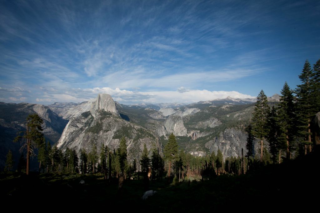
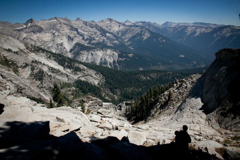
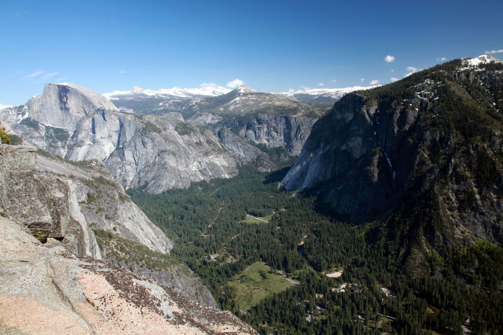
The trip we've been looking forward to for nearly a year, Dale, Thomas and I set off to see as much of Yosemite as we could. We ended up doing 50+ miles and 11,000 vertical feet over 5 days (basically everything you see in the picture above. We encountered bears, rattlesnakes, deer, conquered Half Dome and Cloud's Rest, and battled mosquitoes. Truly an epic adventure to remember. A (very) detailed account can be found here.
JUL 3
Trying to get a jump on the Fourth of July crowds, Casey and I left LA Friday morning and headed to Switzer Falls. A short hike gets you to the falls where you can jump into a small, cool pool. This is a popular attraction that can draw a crowd. Check out the entire story here.
JUN 13
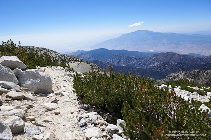
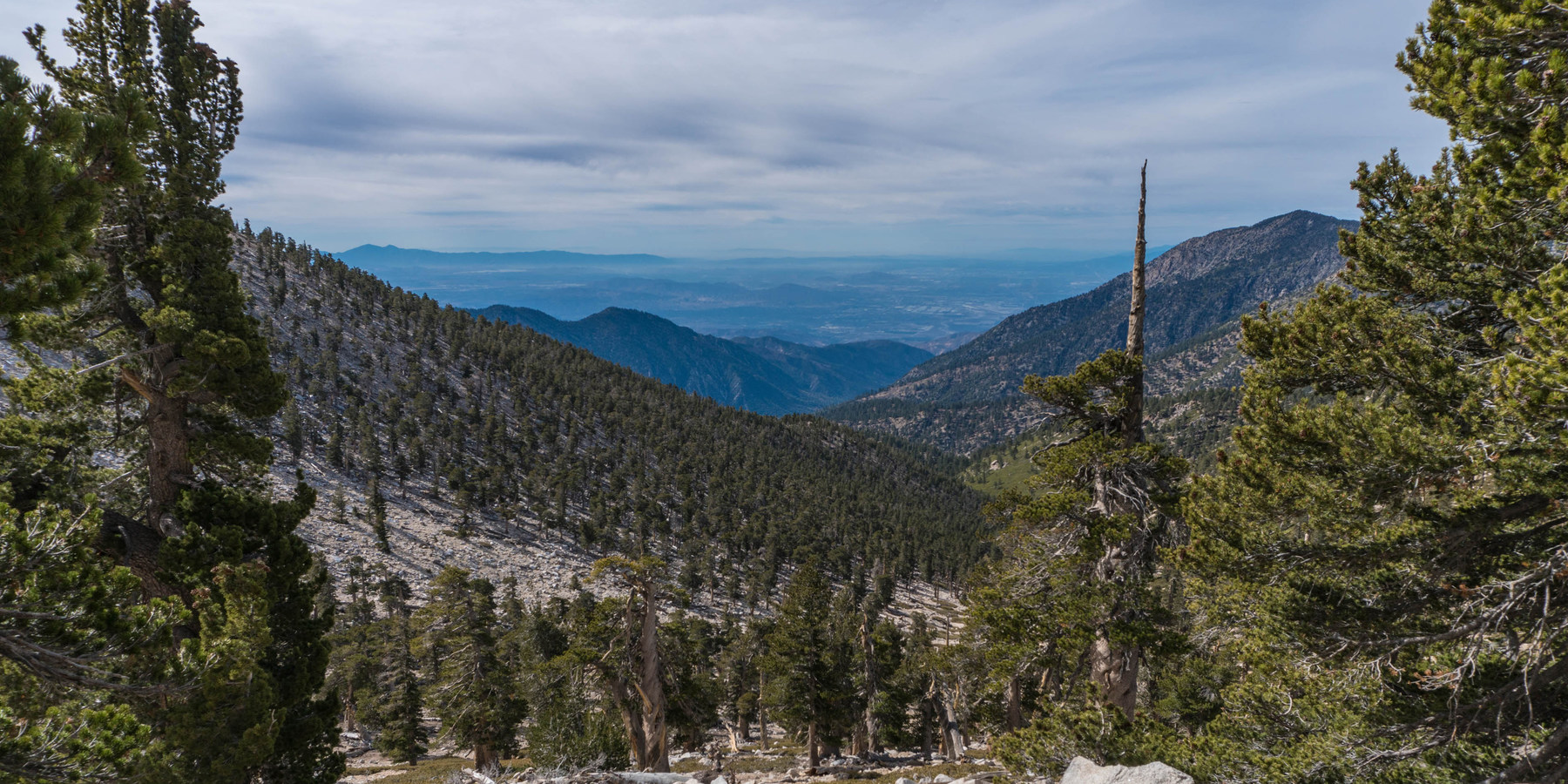
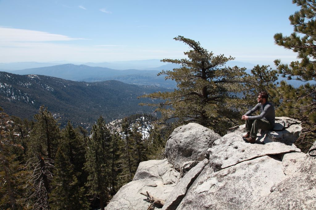
After considering a trip to Joshua Tree (and carrying in our water), we instead decided to head for the mountains. I've been eyeing San Gorgonio for quite a while, so I decided it was a good time to check it out. We managed to cover 15 miles and 4000 vertical feet in less than a day, and we were rewarded with breathtaking views from one of the many peaks in the San Gorgonio wilderness. Check out the gory details here.
MAY 8
A spur of the moment trip allowed me to see one of the greatest parks at an optimal time. Mike and I set off for an easy camping trip, but we ended up at the top of Yosemite Falls (2500 vertical feet later). The waterfalls were in full effect and I did my best to take as many pictures as possible. Read about our adventures here.
APR 17
Taking Beau on an overnighter for his first official backpacking trip, we weren't going to let some damp weather get us down. We learned a few lessons along the way, like it's a bad idea to wear tennis shoes with no socks. Rhere.
MAR 28
Staying close to LA, this trip included first timers Stephen and Casey.
The trip started slow with unremarkable trails and tons of people,
but quickly evolved into a scenic trip that included a large
monolith called Suicide Rock, more snow than we were prepared to
deal with, and several opportunities to get lost. View the
full trip details here.
MAR 13
Needing
to get away from it all, I identified a couple of potential camping
spots near LA. I finally settled on Sespe since it had less
vertical change and warmer temperatures than some of the other local
wilderness areas. My buddy Mike and I set out for a two night
trip that involved seeing non-existent mountain lions, getting lost
in the Piedra Blancas, hiking through desert and snow, and battling
boy scouts for campground space. For the full trip details,
click
here.
MAR 5
Another
trip to Texas, we were torn on where to go. Enchanted rock is
too small, Inks Lake is too small, Sam Houston is too flat. Oh
the dilemmas. We decided that we would instead revisit one of
our favorite parks, Lost Maples. For this trip, we had a
newcomer with us, Thomas Loupe, but he showed he wasn't wet behind
the ears. The full trip details are available
here.
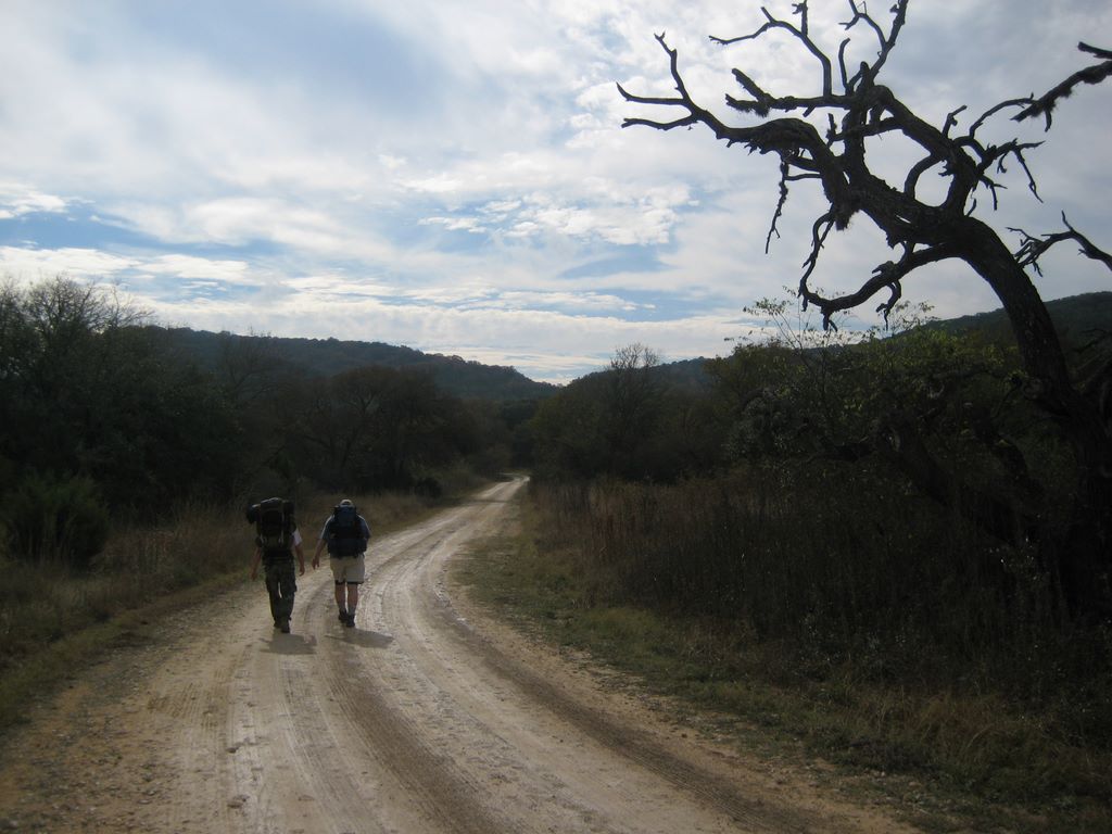
OCT 17
We
planned a two night trip to Lake Georgetown, which is a park
maintained by the US Army Corps of Engineers and located about 20
miles north of Austin. It consists of the 26 mile Goodwater
Trail that surrounds the lake and has primitive campsites scattered
throughout. Based on other people's reviews, we decided to camp at
the Sawyer campsite, 6.5 miles from the Cedar Breaks Trailhead.
For the full trip details, click
here.
JUL 12

Sequoia
was our first trip outside of Texas. This four day, 25 mile
and 10,000 vertical foot hike proved to be more challenging than
expected. As a summary of the trip, most of our trails seemed to be
up hill, Dale fell in a creek, threw up and then decided to walk
through another creek to make himself more sick. We
encountered more deer than people and the deer were less scared.
I've posted the full trip details
here.
MAY 10
Big Bend is one of the least visited national parks in the US yet
it's surprisingly diverse in terms of plants, animals and geology.
The elevation ranges from 1800 feet down by the Rio Grande all the
way up to 7825 feet atop Emory Peak. Dale and I planned a four
night trip to the park just when temperatures were starting to rise
and the rain had long since fallen. For the complete trip
report, check it out here.
MAR 23
Bastrop
State Park is a fairly decent sized park that is located a short
drive from Austin. One of the draws of the park is the 7 mile
Lost Pines Trail that runs through the primitive area where you can
camp anywhere you desire. While the elevation change is
minimal (165 feet), the tall pine trees and the needle covered
forest floor were supposed to make this one night trip interesting.
But it took some equipment failures to provide any sort of
excitement. Click here
for the full trip report.
JAN 18
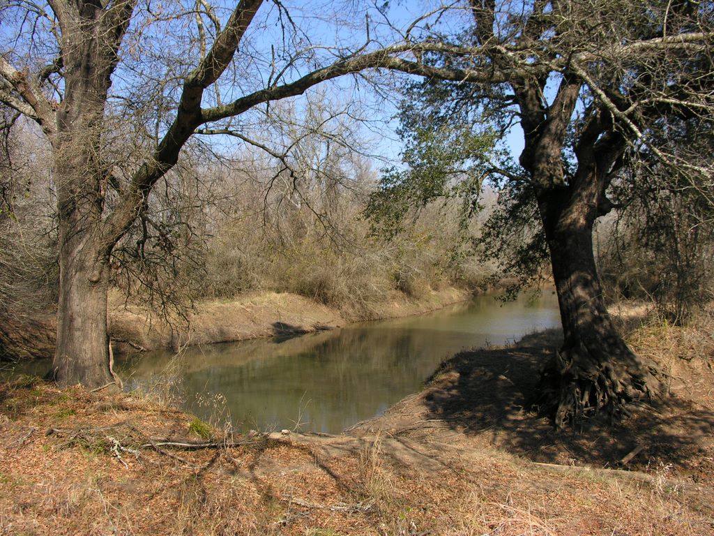
Lake
Somerville is a lesser known Texas park that offers ample
amounts of water (with both a lake and large pond) and over 20 miles
of trails. It also has the benefit of being close to Austin. Since
there was little that we could find out about the park, Dale, Ted
and myself decided to give it a try. Unfortunately, the winter
conditions not only made freezing temperatures but also everything
in the park was very brown. The bright spot for the trip was
the abundance of wildlife. For the complete trip details,
click
here.
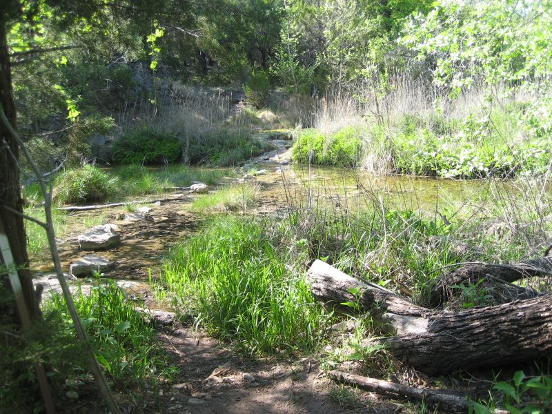
NOV 30
Hill
Country SNA, is a big enough park where it takes a couple of
weekends to see the entire thing. Seeing as we had a great
time on the first visit, Dale and I returned to the park with Ted in
tow. We once again had rain and fell prey to the poorly
marked trails. Read the full trip details
here.
SEP 7
Lost
Maples
is one of the most popular parks in central Texas (and for good
reason). While it is best known for the changing leaves in the
fall, it proved to be a beautiful park even when the leaves weren't
turning colors. Not only does it offer beautiful scenery and
an abundance of water, it also has a variety of challenging trails.
Click here to see the full
trip report.
MAY 25
Pedernales
Falls State Park is best known for the falls it is named after.
It's really more like a 3000 foot marble slide than is it a falls.
However, it can go from fairly dry to raging river in a matter of
minutes due to flash floods. Aside from the falls, they have a
nice primitive camping area along with an interesting trail system.
Ted, Dale and I made a two night trip to the park. Read the
full story here.
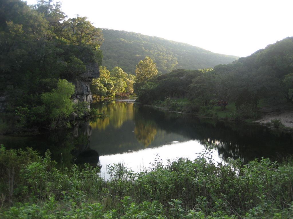
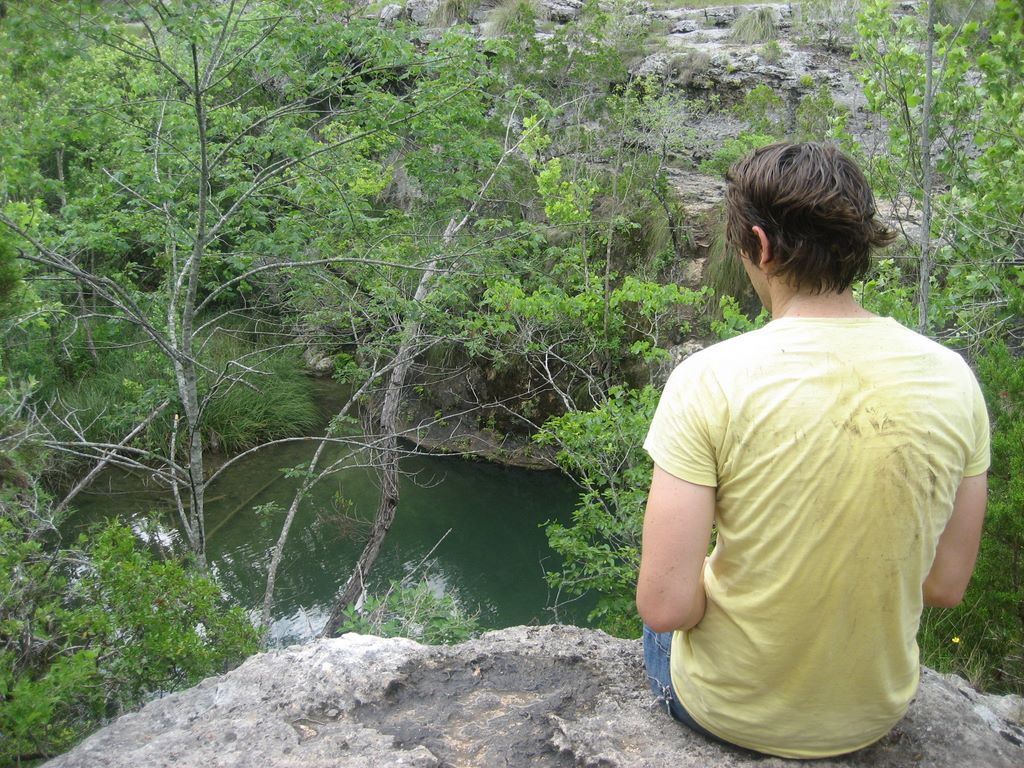
APR 20
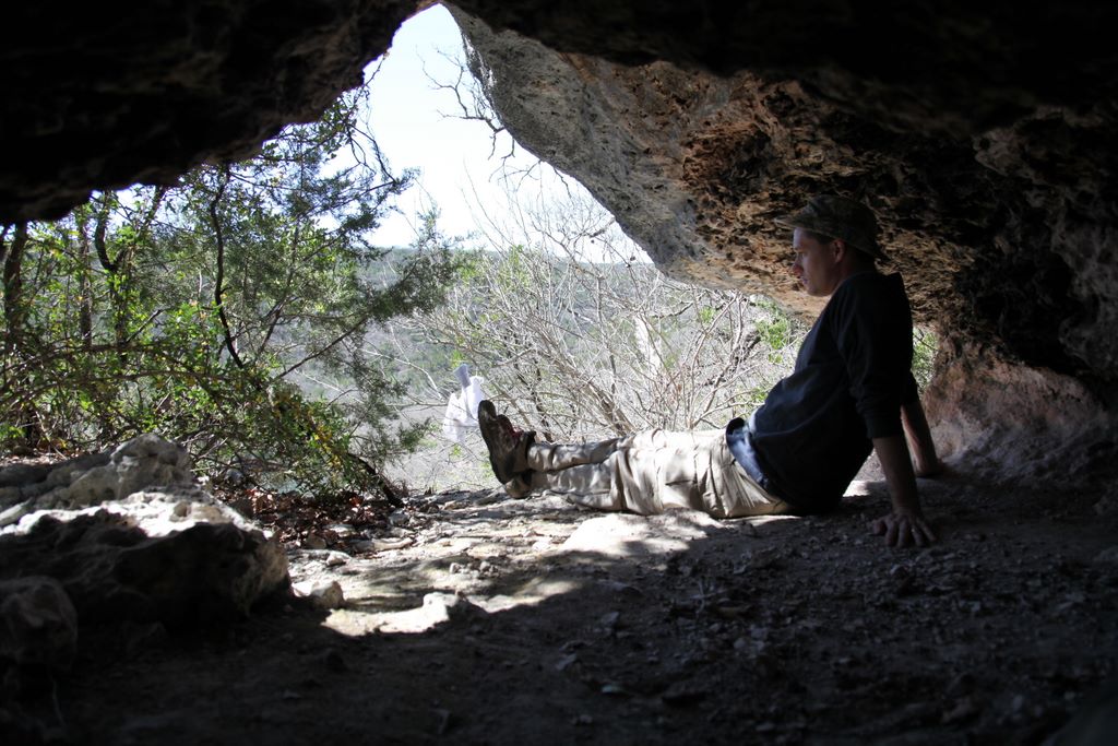
Nestled
away in the hills northwest of Austin,
Colorado Bend is one of the most underrated parks in Texas.
Not only does it have one of the best stretches of trails in Texas,
it also has a 60 foot falls and a cave to top it off. While
the park may not offer a prime primitive camping area, it more than
makes up for it with spring fed waterfalls. Read about our quick one
night trip here.
MAR 30
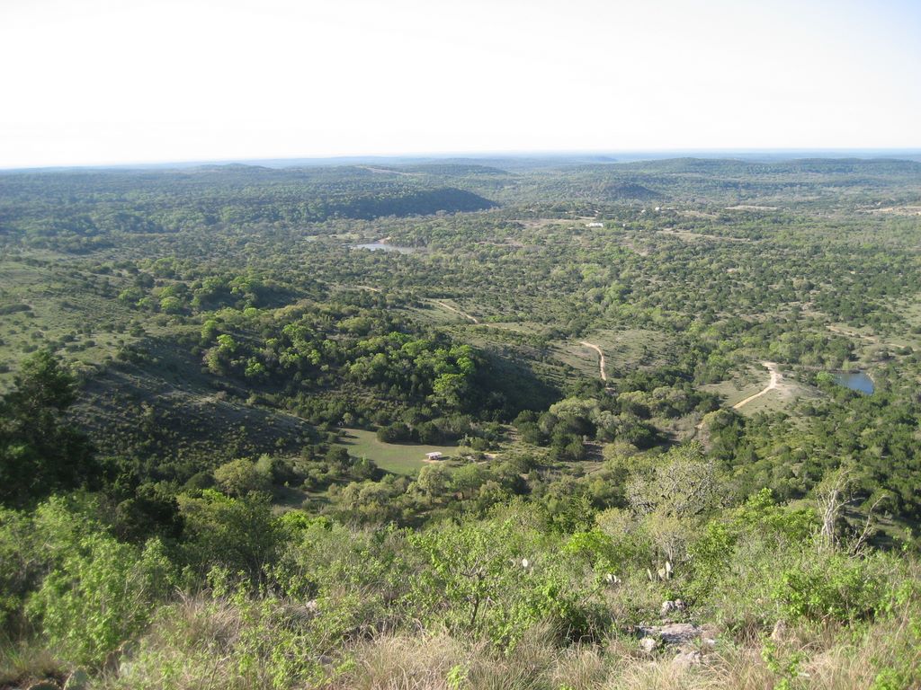 Hill
Country SNA
is a fairly large park but due to it being primitive only, it
doesn't get as much traffic as other nearby parks. As a
result, you have a vast amount of wilderness to explore... seemingly
alone. There are several moderate hills that give you a bit of
elevation change and some great campsites. Dale and I made
this one night trip in the middle o
Hill
Country SNA
is a fairly large park but due to it being primitive only, it
doesn't get as much traffic as other nearby parks. As a
result, you have a vast amount of wilderness to explore... seemingly
alone. There are several moderate hills that give you a bit of
elevation change and some great campsites. Dale and I made
this one night trip in the middle o
Some of the trips we plan on making in the next few years:
Yellowstone NP
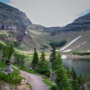
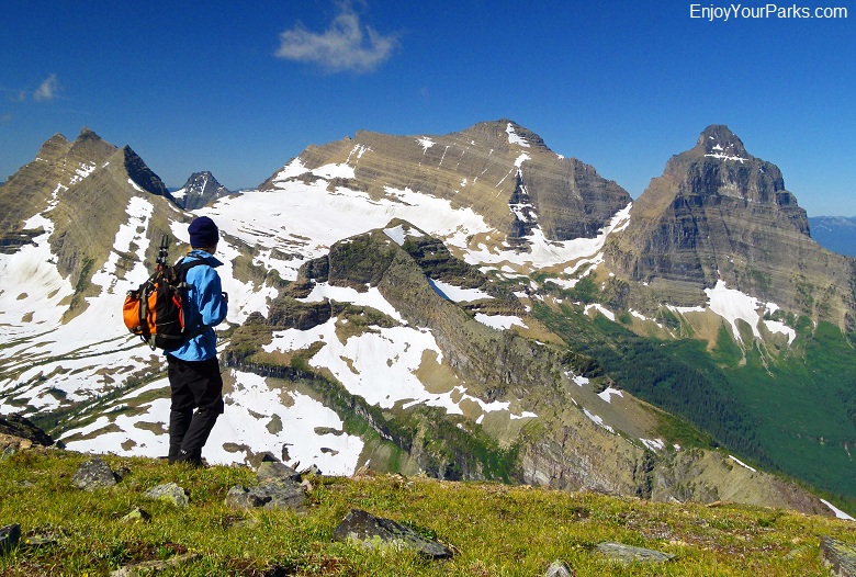
Glacier NP (Great Northern Traverse)
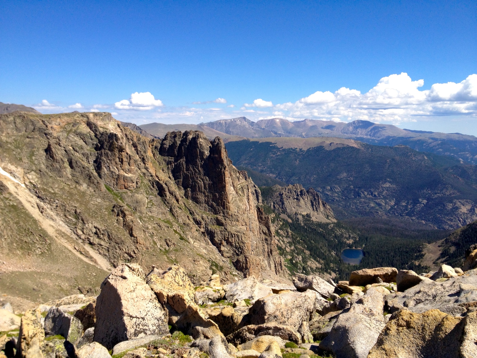
Rocky Mountain NP (Long's Peak)
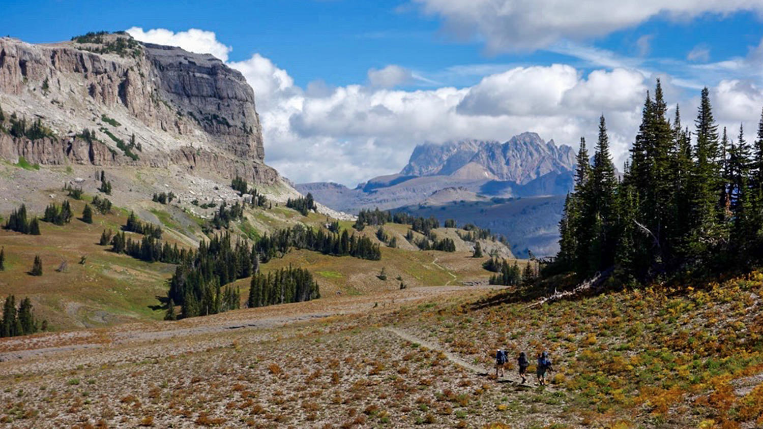
Grand Teton NP (Teton Crest Trail)
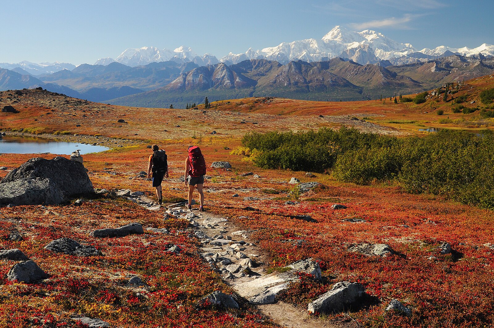
Denali NP
Grand Canyon NP (Rim to Rim)
Acadia NP
Ranier NP
Sequoia NP (Mt Whitney via JMT)
Olympic NP
North Cascades NP
Everglades NP
Canyonlands NP
Great Smoky Mountains NP (AT)
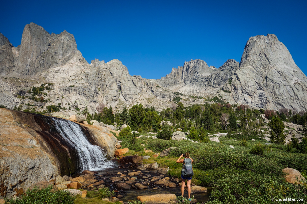
Wind River Range